- Creaca
-
"Jac" redirects here. For other uses, see JAC."Borza" redirects here. For Bârza village in Mureş County, called Borza in Hungarian, see Sânger.
Creaca Porolissum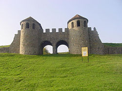 Location of Creaca
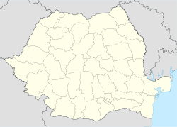
 Creaca
Coordinates: 47°9′58″N 23°12′0″E / 47.16611°N 23.2°ECoordinates: 47°9′58″N 23°12′0″E / 47.16611°N 23.2°E Country  Romania
County  Sălaj
SălajCommune Creaca Development region1 North West Development Region Historic region Transylvania Government – Mayor Terec Eugen (Democratic Liberal Party) Area – Total 745 km2 (287.6 sq mi) Highest elevation 650 m (2,133 ft) Lowest elevation 200 m (656 ft) Population (2002) – Total 3,046 Time zone EET (UTC+2) – Summer (DST) EEST (UTC+3) Postal Code 457096 Area code(s) +40 260 and +40 3602 Currency RON Official language Romanian Ambulance Zalău Police Creaca Fire Jibou Car Plates SJ Website http://www.primariacreaca.eu 1The development regions of Romania have no administrative role and were formed in order to manage funds from the  European Union.
2+40 x60: x is a digit indicating the operator: 2 for Romtelecom and 3 for the other ground telephone networksCreaca (Hungarian: Karika) is a commune located in Sălaj County, Romania.
Contents
Villages
The commune is composed of nine villages: Borza (Egregyborzova), Brebi (Beréd), Brusturi (Somróújfalu), Ciglean (Csiglen), Creaca, Jac (Zsákfalva), Lupoaia (Farkasmező), Prodăneşti (Prodánfalva) and Viile Jacului. The largest village in terms of population and area is Jac, and the smallest is Viile Jacului (Szállásszőlőhegy).
History
In the 1st century AD, Porolissum, an ancient Roman city in Dacia was built on the western part of the commune. The city was the most north-eastern outpost of the Roman Empire, and garrisoned 5,000 auxiliary soldiers transferred from Spain, Gaul, and Britain.
Demographics
At the 2002 census, 97.8% of inhabitants were Romanians and 2.1% Roma. 71.1% were Romanian Orthodox, 13.8% Baptist, 12.5% Pentecostal and 2.1% stated they belonged to another religion.
Education
There is a primary school (grades 1 to 8) in Creaca and Jac and only 1-4 grades in the rest of the villages, except Viile Jacului.
Occupations
The main occupations involve the farms around the village. Most of the men are gone to work in other European Union countries. The ones who stayed work in Zalău, commuting between Zalău and the commune's villages. In the communist era, the people worked mostly in Zalău and on state farms.
Gallery
-
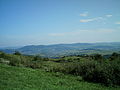
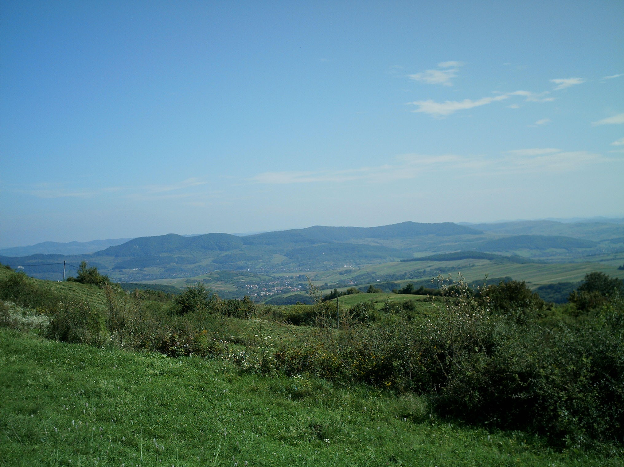
View of Jac village
-
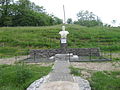
Bust of Trajan in Jac
-
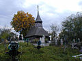
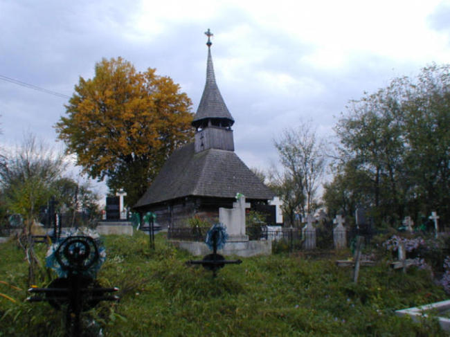
Wooden Orthodox church in Jac
-
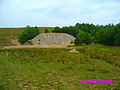
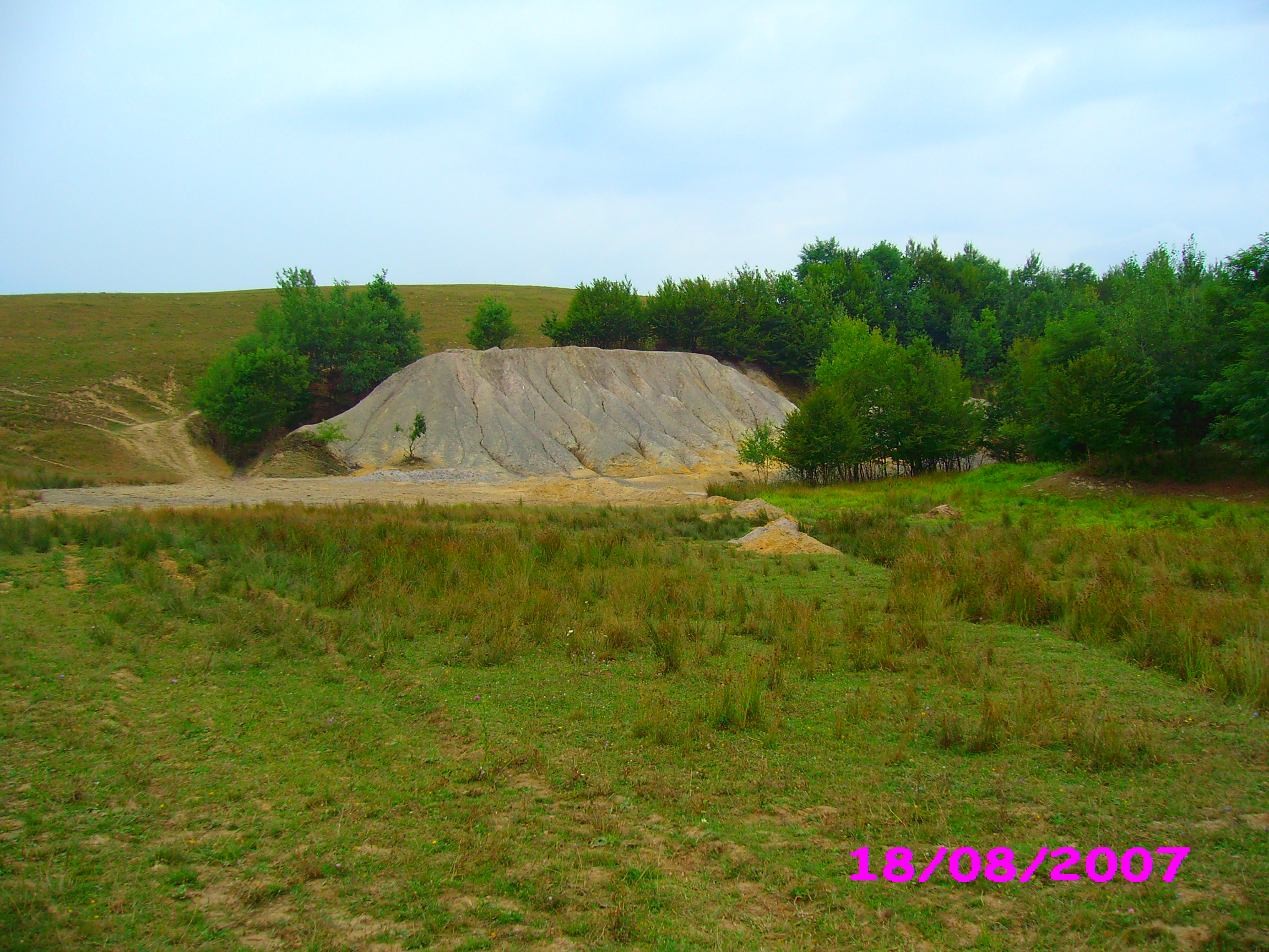
Old mine in Jac
References
External links
Sălaj County, Romania Cities Zalău (county seat)
Towns Communes Agrij · Almaşu · Băbeni · Bălan · Bănişor · Benesat · Bobota · Bocşa · Boghiş · Buciumi · Camăr · Carastelec · Chieşd · Cizer · Coşeiu · Crasna · Creaca · Crişeni · Cristolţ · Cuzăplac · Dobrin · Dragu · Fildu de Jos · Gâlgău · Gârbou · Halmăşd · Hereclean · Hida · Horoatu Crasnei · Ileanda · Ip · Letca · Lozna · Măerişte · Marca · Meseşenii de Jos · Mirşid · Năpradea · Nuşfalău · Pericei · Plopiş · Poiana Blenchii · Românaşi · Rus · Sâg · Sălăţig · Şamşud · Sânmihaiu Almaşului · Sărmăşag · Şimişna · Someş-Odorhei · Surduc · Treznea · Valcău de Jos · Vârşolţ · Zalha · Zimbor
Categories:- Communes in Sălaj County
-


Wikimedia Foundation. 2010.