- Kilmeaden
-
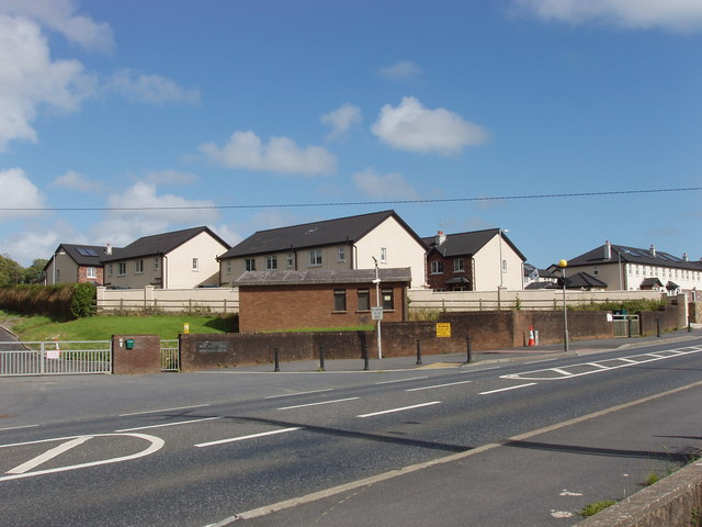
 Housing estate near Kilmeaden Village Centre
Kilmeaden (Irish: Cill Mhíodáin) is a town in County Waterford, Ireland. It is on the N25 road between Dungarvan, County Waterford and Waterford City. The town is 23 miles from Dungarvan and 5 miles from Waterford.
Kilmeaden shares its name with a world famous cheese brand that was, until 2005, produced in a factory in the heart of the village.
Kilmeaden is also the site of St. Mary's Church, a Church of Ireland Chapel, located in the north-western part of the village, Old Kilmeaden, near the railway station, at the R680 road towards Carrick-On-Suir.
The school serving the Kilmeaden area is found in Ballyduff, a neighbouring village, which is also home to the Catholic Church of the area, St. Nicholas' Church. Both the GAA and soccer teams of the area are also named Ballyduff Lower GAA and Ballyduff AFC respectively.
Transport
Kilmeaden, lying in a linear pattern along the R680 (former N25 section), was in the last century home to a train station on the line from Waterford City to Mallow Junction in County Cork. In recent years, a section of the line has been reopened as a tourist line, known as The Waterford & Suir Valley Railway.
As part of the new Waterford City bypass, Kilmeaden is now bypassed by a dual-carriageway section of the N25. This brings great relief to the previously overcrowded road through the village, now reclassified as R680.
Industry
Throughout much of the twentieth century, Kilmeaden was also home to a very successful co-operative. The farmers of the area benefited greatly from the sale of their produce (mostly butter and milk) to the co-op, and as it expanded, a general store was opened in May 1920, which is still present today as a Centra outlet.
In 1964, all of the co-ops in Waterford amalgamated, and was registered as Waterford Co-op. This led to the construction of a cheese factory on a green field site opposite the general store, and Kilmeaden cheese was to become one of the most recognised and successful cheddar brands in the world. This is evident as the brand won a gold and bronze medal in the World Cheese Awards in London in 2005. However, production of the cheese ceased at the Kilmeaden plant in 2005, and the production of Kilmeaden Cheese moved to Ballyragget, County Kilkenny.
Kilmeaden is also the site of the East Waterford Water Treatment Plant. This plant, which is quite large, is operated by Waterford County Council and provides water mainly for Waterford City and the surrounding areas.
The area also has a small retail outlet in the Kilmeaden Village Centre, located directly on the R680 in the village. This building provides space for shops (details in facilities below) and also a few apartments for rent.
Attractions
 Mount Congreve house and gardens
 Mount Congreve woodland garden
The world famous Mount Congreve estate lies just outside the village, on the Old Kilmeaden Road. Owned and run by the late Mr. Ambrose Congreve (1907-2011), Mount Congreve is famous the world over for its rare species of plants and also its plant nurseries. It consists of around seventy acres of intensively planted woodland garden and a four acre walled garden. In addition there are a 18th-century house (the ancestral home of Mr. Congreve), ranges of glashouses, more than 16 miles of paths and a wholesale nursery. After Mr. Congreves death the Mount Congreve estate was left to the Irish State. Whilst the gardens are open to the public, the house is not as yet.
Kilmeaden is also home to Cullinagh Stables, a livery yard and working farm located on the banks of the River Dawn. Equipped with a cross country course, riverside treks and an art studio, the farm is also bordered by the historical remains of Fairbrook Mills and the Mill Street (former home to mill workers and their families).
Also on the banks of the River Dawn lies Fairbrook House and Gardens. Seven acres of a former woollen mill have been changed into a romantic walled garden by the Dutch artists Wout Muller and Clary Mastenbroek. Established in 1994 and it has evolved over the years. Stones from former buildings have been recycled into walls, raised borders, obelisks and magic standing stones. From May 2003 the small gallery has been extended as a museum, for contemporary figurative art.
Categories:- Towns and villages in County Waterford
- Articles on towns and villages in Ireland possibly missing Irish place names


Wikimedia Foundation. 2010.