- National Register of Historic Places listings in Manhattan above 110th Street
-
List of the National Register of Historic Places listings in Manhattan above 110th Street
This is intended to be a complete list of properties and districts listed on the National Register of Historic Places above 110th Street in Manhattan. For properties and districts in other parts of Manhattan and the other islands of New York County, see National Register of Historic Places listings in New York County, New York. The locations of National Register properties and districts (at least for all showing latitude and longitude coordinates below) may be seen in a Google map by clicking on "Map of all coordinates".[1]
-
- This National Park Service list is complete through NPS recent listings posted November 18, 2011.[2]
Contents: Counties in New York Albany (Albany) – Allegany – Bronx – Broome – Cattaraugus – Cayuga – Chautauqua – Chemung – Chenango – Clinton – Columbia – Cortland – Delaware – Dutchess – Erie (Buffalo) – Essex – Franklin – Fulton – Genesee – Greene – Hamilton – Herkimer – Jefferson – Kings (Brooklyn) – Lewis – Livingston – Madison – Monroe (Rochester) – Montgomery – Nassau – New York (Manhattan – Below 14th Street, 14th to 59th Streets, 59th to 110th Streets, Above 110th Street, Islands) – Niagara – Oneida – Onondaga (Syracuse) – Ontario – Orange – Orleans – Oswego – Otsego – Putnam – Queens – Rensselaer – Richmond (Staten Island) – Rockland – Saratoga – Schenectady – Schoharie – Schuyler – Seneca – St. Lawrence – Steuben – Suffolk – Sullivan – Tioga – Tompkins – Ulster – Warren – Washington – Wayne – Westchester (New Rochelle, Peekskill, Yonkers) – Wyoming – Yates Listings above 110th Street
Landmark name Image Date listed Location Neighborhood, etc. Summary 1 116th Street – Columbia University Subway station (1 train) 
September 17, 2004 Jct. of Broadway and West 116th St.
40°48′28″N 73°57′52″W / 40.80778°N 73.96444°WMorningside Heights 2 145th Street Subway station (3 train) 
March 30, 2005 Under Lenox Avenue at the jct. with 145th St.
40°49′13″N 73°56′12″W / 40.82028°N 73.93667°WHarlem 3 168th Street Subway station (1 train) 
March 30, 2005 Under Broadway at the jct. of W. 168th St.
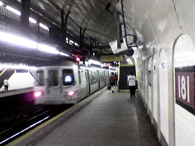
40°50′26″N 73°56′26″W / 40.84056°N 73.94056°WNew York Lower set of tracks (1 train) is only station along Fort George Tunnel where its semicircular vaulted ceiling is visible. 4 181st Street Subway station (A train) 
March 30, 2005 Fort Washington Ave., Vet. W. 185th and 181st Sts.
40°51′6″N 73°56′18″W / 40.85167°N 73.93833°WNew York 5 181st Street Subway station (1 train) 
March 30, 2005 Under St. Nicholas Ave. bet. W. 181st and W. 180th St.s
40°50′58″N 73°56′3″W / 40.84944°N 73.93417°WNew York 6 190th Street Subway station (A train) 
March 30, 2005 Under Fort Washington Ave. bet. Fort Tryon Park (Cabrini Blvd.) and W. 190th St/
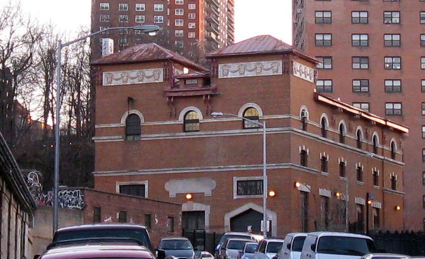
40°51′32″N 73°56′5″W / 40.85889°N 73.93472°WNew York 7 207th Street Yard – Signal Service Building and Tower B 
February 9, 2006 W. 215th St. bet. Tenth Ave. and the Harlem R
40°52′6″N 73°54′49″W / 40.86833°N 73.91361°WInwood, Manhattan 8 369th Regiment Armory 
January 28, 1994 2366 Fifth Ave.
40°49′2.6394″N 73°56′3.6126″W / 40.817399833°N 73.934336833°W369th Regiment Armory)Harlem Home of the [[369th Infantry Regiment (United States), Harlem Hellfighters 9 Apollo Theater 
November 17, 1983 253 W. 125th St.
40°48′36″N 73°57′1″W / 40.81°N 73.95028°WHarlem Venue for African-American mid-20th century popular musicians 10 Audubon Terrace Historic District 
May 30, 1980 Bounded by Broadway, W. 155th and W. 156th Sts.
40°50′0″N 73°56′49″W / 40.833333°N 73.94694°WWashington Heights 11 James Bailey House 
April 23, 1980 10 St. Nicholas Pl. (at 150th St.)
40°49′38″N 73°56′33″W / 40.82722°N 73.9425°WHarlem (Ed. note: see NYTimes article) 12 Broadway Synagogue, Old 
January 11, 2002 15 Old Broadway (nr 125th St & Bway)
40°48′55″N 73°57′27″W / 40.81528°N 73.9575°WHarlem 13 Brooks and Hewitt Halls 
November 15, 2003 Jct. W. 116th St. and Claremont Ave.
40°48′30″N 73°57′54″W / 40.80833°N 73.965°WMorningside Heights 14 Casa Italiana 
October 29, 1982 1151-1161 Amsterdam Ave. (@ 116th)
40°48′26″N 73°57′39″W / 40.80722°N 73.96083°WNew York 15 Chapel of the Intercession Complex and Trinity Cemetery 
July 24, 1980 550 W. 155th St.
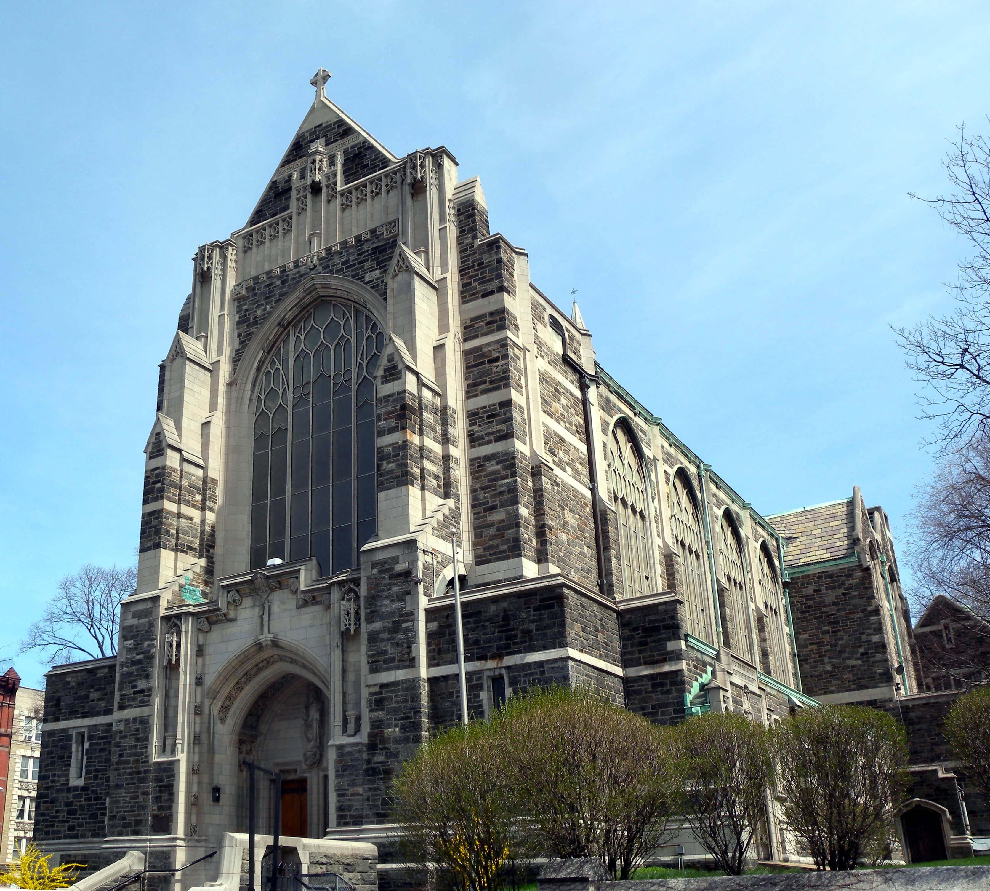
40°49′56″N 73°56′50″W / 40.83222°N 73.94722°WWashington Heights 16 Church of Notre Dame and Rectory 
May 6, 1980 405 W. 114th St. and 40 Morningside Dr.
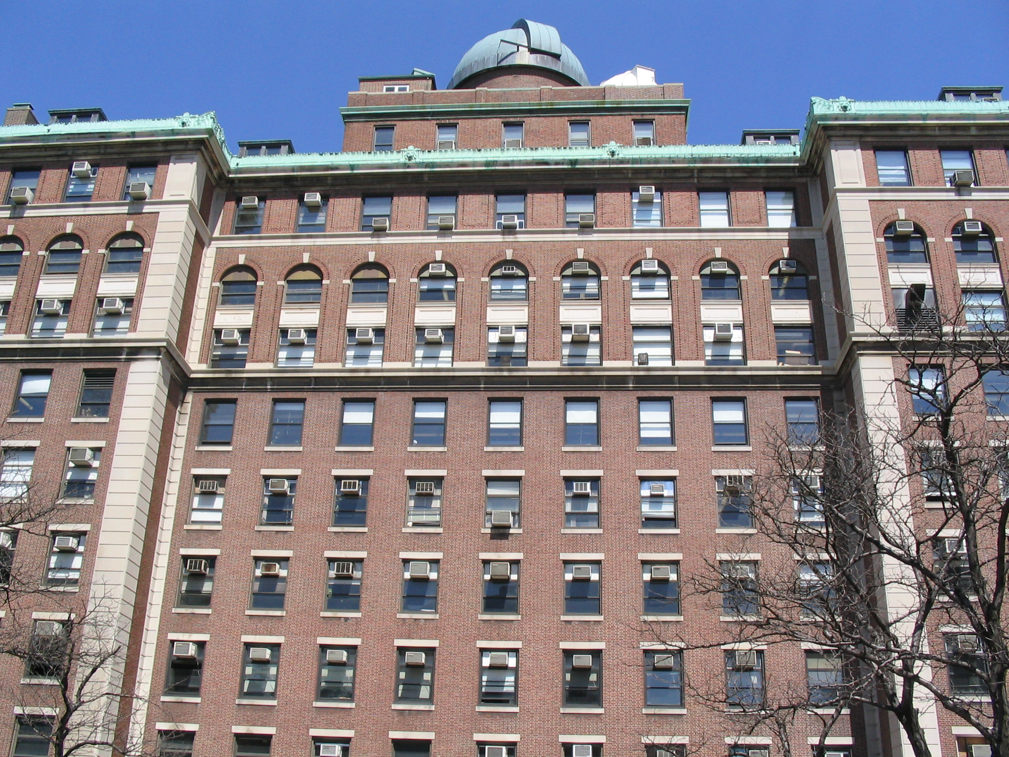
40°48′18″N 73°57′38″W / 40.805°N 73.96056°WMorningside Heights 17 College of the City of New York 
September 7, 1984 Bounded by Amsterdam Ave., St. Nicholas Terr., W. 138th, and W. 140th Sts.
40°49′15″N 73°56′58″W / 40.82083°N 73.94944°WNew York 18 Will Marion Cook House 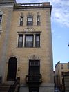
May 11, 1976 221 W. 138th St.
40°49′4″N 73°56′37″W / 40.81778°N 73.94361°WNew York Musician Will Marion Cook lived here 19 Croton Aqueduct Gate House 
September 22, 1983 135th St. and Convent Ave.
40°49′6″N 73°57′6″W / 40.81833°N 73.95167°WNew York 20 Delta Psi, Alpha Chapter 
April 26, 1996 434 Riverside Dr. (@ 115th)
40°48′30″N 73°57′59″W / 40.80833°N 73.96639°WManhattan 21 Dunbar Apartments 
March 29, 1979 Bounded by 7th and 8th Aves. and W. 149th and 150th Sts.
40°49′30″N 73°56′20″W / 40.825°N 73.93889°WNew York 22 Dyckman Street Subway station (1 train) 
September 17, 2004 Bet. Hillside and St. Nicholas Aves. , jct. of Dyckman St. and Nagle Ave.
40°51′39″N 73°55′34″W / 40.86083°N 73.92611°WNew York 23 William Dyckman House 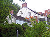
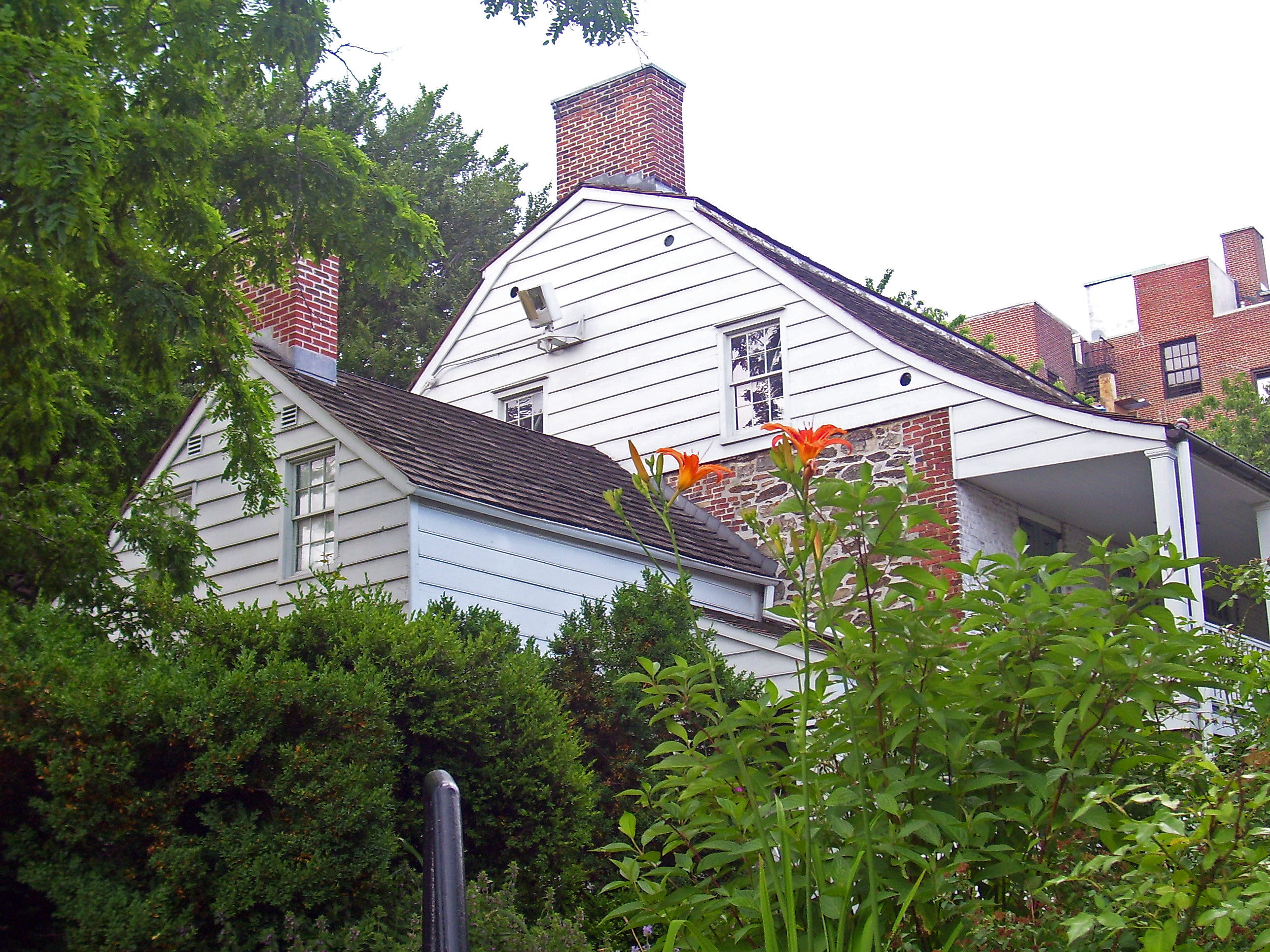
December 24, 1967 4881 Broadway
40°52′3″N 73°55′24″W / 40.8675°N 73.92333°WNew York Last remaining farmhouse in Manhattan, dating to late 18th century. Now a museum run by the Parks Department. 24 Edward Kennedy "Duke" Ellington House 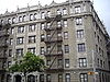
May 11, 1976 935 St. Nicholas Ave., Apt. 4A
40°49′55.73″N 73°56′27.5″W / 40.8321472°N 73.940972°WNew York Home of jazz legend Duke Ellington for much of his adult life 25 Elmendorf Reformed Church 
April 27, 2010 171 E. 121st St.
40°48′5.18″N 73°56′18.05″W / 40.8014389°N 73.9383472°WHarlem New listing; refnum 10000225 26 Fort Tryon Park and the Cloisters 
December 19, 1978 Broadway and Dyckman St.
40°51′39″N 73°55′57″W / 40.86083°N 73.9325°WNew York 27 Fort Washington Avenue Armory 
March 2, 1995 216 Fort Washington Ave. (jct. with 168th St.)
40°50′31″N 73°56′31″W / 40.84194°N 73.94194°WNew York 1911 neoclassical armory was one of first in city in that style. Now home to National Track and Field Hall of Fame. 28 Fort Washington Presbyterian Church 
January 7, 2010 21 Wadsworth Ave.
40°50′43″N 73°56′16″W / 40.84528°N 73.93778°WWashington Heights New listing; refnum 0900120 29 Fourth Church of Christ, Scientist August 31, 2011 551 Ft. Washington Ave.
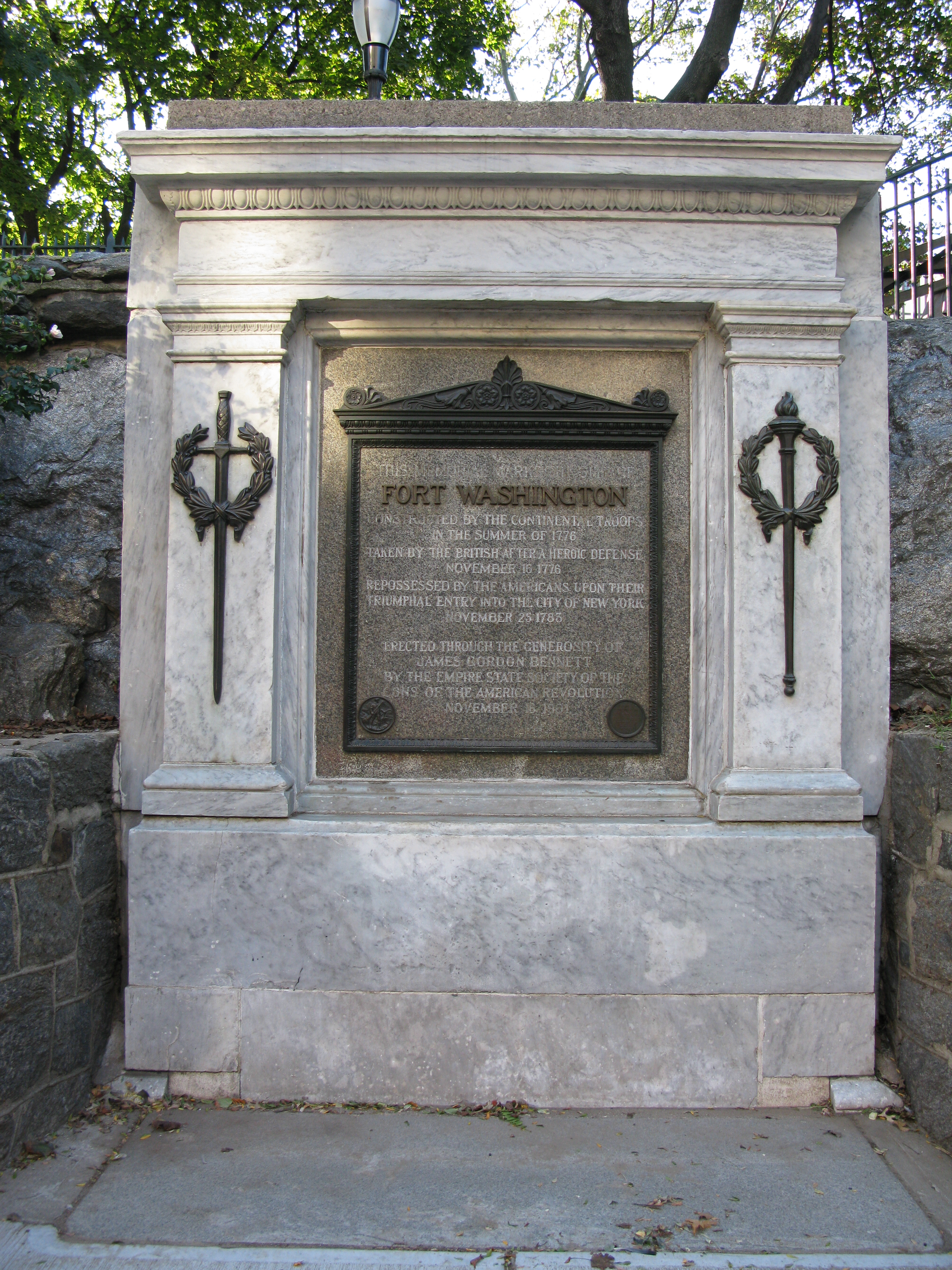
40°51′13″N 73°56′16″W / 40.85361°N 73.93778°WWashington Heights New listing; refnum 11000620 30 Fort Washington Site 
December 6, 1978 Bennett Park, Ft. Washington Ave. at 183rd St. "Address Restricted" Washington Heights 31 General Grant National Memorial 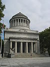
October 15, 1966 Riverside Dr. and W. 122nd St.
40°48′48″N 73°57′49″W / 40.81333°N 73.96361°WNew York 32 Hamilton Grange National Memorial 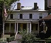
October 15, 1966 287 Convent Ave.
40°49′21″N 73°56′54″W / 40.8225°N 73.94833°WNew York Home of Alexander Hamilton's family. Recently moved for preservation purposes 33 Hamilton Heights Historic District 
September 30, 1983 Roughly bounded by St. Nicholas and Amsterdam Aves, W. 145 and W. 140th Sts.
40°49′21″N 73°56′54″W / 40.8225°N 73.94833°WHamilton Heights 34 Harlem Courthouse 
April 16, 1980 170 E. 121st St.
40°48′4″N 73°56′21″W / 40.80111°N 73.93917°WNew York 35 Harlem Fire Watchtower 
June 21, 1976 Garvey Park at E. 122nd St.
40°48′14″N 73°56′38″W / 40.80389°N 73.94389°WNew York Only survivor of 11 fire watchtowers once covering Manhattan and/or the city 36 Harlem River Houses 
December 18, 1979 151st to 153rd St., Macombs Pl. and Harlem River Dr.
40°49′33″N 73°56′12″W / 40.82583°N 73.93667°WNew York 37 Harlem Savings Bank 
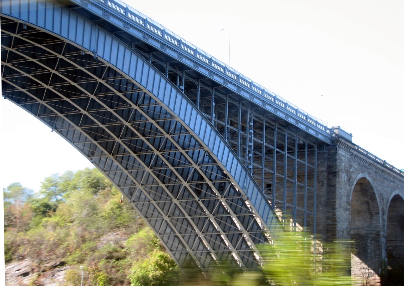
August 28, 2003 124 E. 125th St.
40°48′13″N 73°56′20″W / 40.80361°N 73.93889°WNew York 38 Matthew Henson Residence 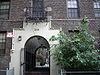
May 15, 1975 246 W. 150th St., Apt. 3F
40°49′32″N 73°56′19″W / 40.82556°N 73.93861°WNew York 39 High Bridge Aqueduct and Water Tower 
December 4, 1972 Harlem River at W. 170th St. and High Bridge Park
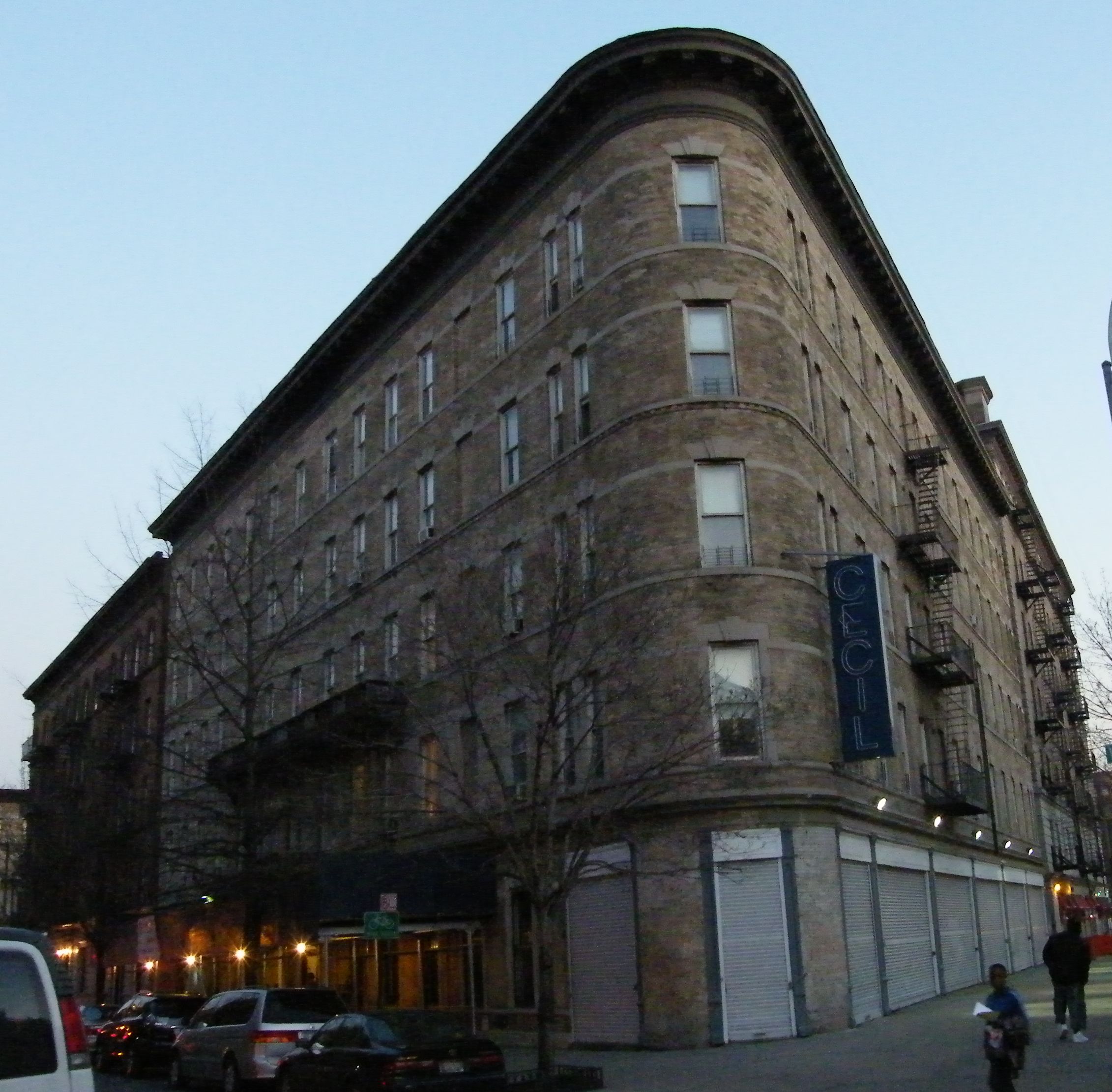
40°50′33.73″N 73°55′57.14″W / 40.8427028°N 73.9325389°WNew York 40 Hotel Theresa 
June 16, 2005 2082-2096 Adam Clayton Powell, Jr. Blvd.
40°48′31″N 73°56′58″W / 40.80861°N 73.94944°WHarlem 41 International House 
September 10, 1999 500 Riverside Dr.
40°48′49″N 73°57′43″W / 40.81361°N 73.96194°WUpper West Side 42 Langston Hughes House 
October 29, 1982 20 E. 127th St.
40°48′26″N 73°56′27″W / 40.80722°N 73.94083°WHarlem Home of Langston Hughes, important African-American poet 43 IRT Broadway – Seventh Avenue Line Viaduct (1 train) 
September 15, 1983 W. 122nd St. to W. 135th St., Broadway
40°49′12″N 73°57′20″W / 40.82°N 73.95556°WNew York 44 Ivey Delph Apartments 
January 20, 2005 17-19 Hamilton Terrace (at 141st St.)
40°49′20″N 73°56′50″W / 40.82222°N 73.94722°WHamilton Heights 45 Jeffrey's Hook Lighthouse 
May 29, 1979 Fort Washington Park
40°51′0″N 73°56′52″W / 40.85°N 73.94778°WNew York Famous as Little Red Lighthouse underneath the giant G W bridge 46 James Weldon Johnson House 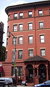
May 11, 1976 187 W. 135th St.
40°48′54.52″N 73°56′35.7″W / 40.8151444°N 73.94325°WNew York Home of James Weldon Johnson 47 Jumel Terrace Historic District 
April 3, 1973 W. 160th and 162nd Sts. between St. Nicholas and Edgecombe Aves.
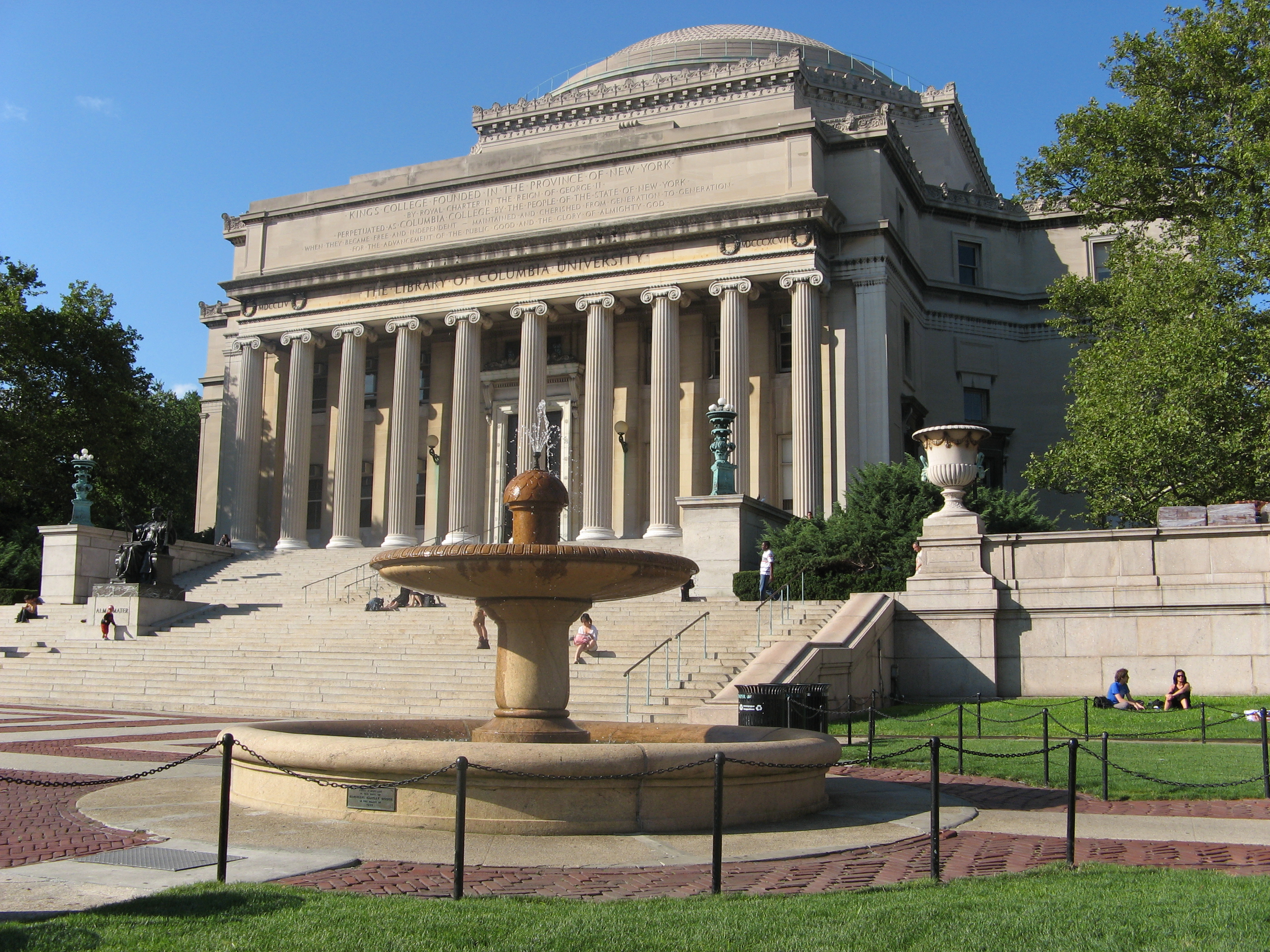
40°50′5″N 73°56′21″W / 40.83472°N 73.93917°WNew York 48 Low Memorial Library, Columbia University 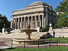
December 23, 1987 W. Sixteenth St. between Broadway and Amsterdam Ave.
40°48′29″N 73°57′45″W / 40.80806°N 73.9625°WNew York Largest granite domed building in U.S. Now used as Columbia's main administration building 49 Manhattan Avenue-West 120th-123rd Streets Historic District 
January 17, 1992 242-262 W. 120th St., 341-362 W. 121st St., 341-362 W. 122nd St., 344-373 123rd St., 481-553 Manhattan Ave. W side
40°48′32″N 73°57′19″W / 40.80889°N 73.95528°WNew York 50 Claude McKay Residence 
December 8, 1976 180 W. 135th St.
40°48′53.51″N 73°56′34.37″W / 40.8148639°N 73.9428806°WNew York Also known as Harlem YMCA 51 Milbank, Brinckerhoff, and Fiske Halls 
November 15, 2003 Roughly bounded by W. 119th and W. 120th Sts., and Broadway and Claremont Aves.
40°48′38″N 73°57′48″W / 40.81056°N 73.96333°WMorningside Heights 52 Minton's Playhouse 
September 18, 1985 206-210 W. 118th St.
40°48′17″N 73°57′12″W / 40.80472°N 73.95333°WNew York 53 Morris-Jumel Mansion 
October 15, 1966 160th St. and Edgecombe Ave.
40°50′4″N 73°56′19″W / 40.83444°N 73.93861°WNew York 54 Mount Morris Bank 
December 7, 1989 E. 125th St. and Park Ave.
40°48′19″N 73°56′22″W / 40.80528°N 73.93944°WNew York Covered with scaffolding (northwest corner of Park and 125th) 55 Mount Morris Park Historic District 
February 6, 1973 Bounded roughly by Lenox Ave., Mount Morris Park West, and W. 124th and W. 119th Sts.
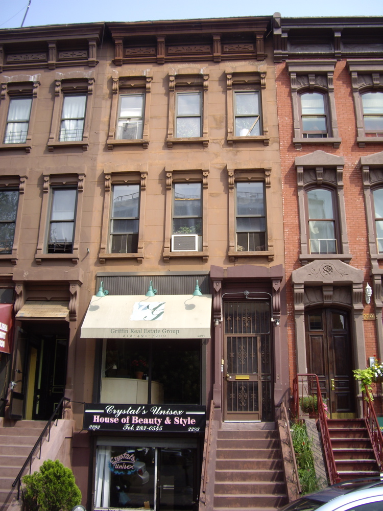
40°48′17″N 73°56′49″W / 40.80472°N 73.94694°WNew York 56 New York Amsterdam News Building 
May 11, 1976 2293 7th Ave.
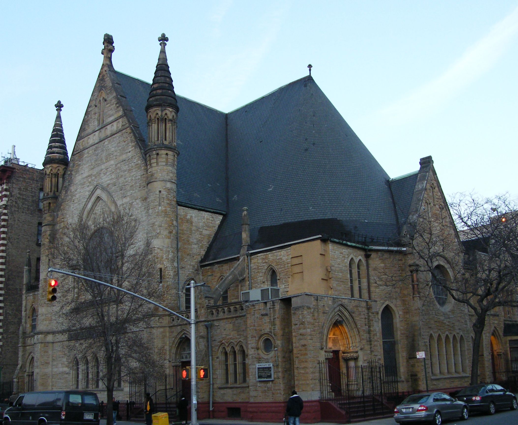
40°48′54″N 73°56′41″W / 40.815°N 73.94472°WHarlem Once offices of major early 20th-century African-American newspaper, New York Amsterdam News. 57 New York Presbyterian Church 
June 3, 1982 151 W. 128th St & 7th Ave.
40°48′39″N 73°56′49″W / 40.81083°N 73.94694°WHarlem Sign on church says it is Baptist 58 New York Public Library, 115th Street Branch 
May 6, 1980 203 W. 115th St.
40°48′10″N 73°57′14″W / 40.80278°N 73.95389°WHarlem 59 New York Public Library, Hamilton Grange Branch 
July 23, 1981 503 and 505 W. 145th St.
40°49′32″N 73°56′54″W / 40.82556°N 73.94833°WWashington Heights 60 Park and Tilford Building 
May 1, 2009 310 Lenox Ave.
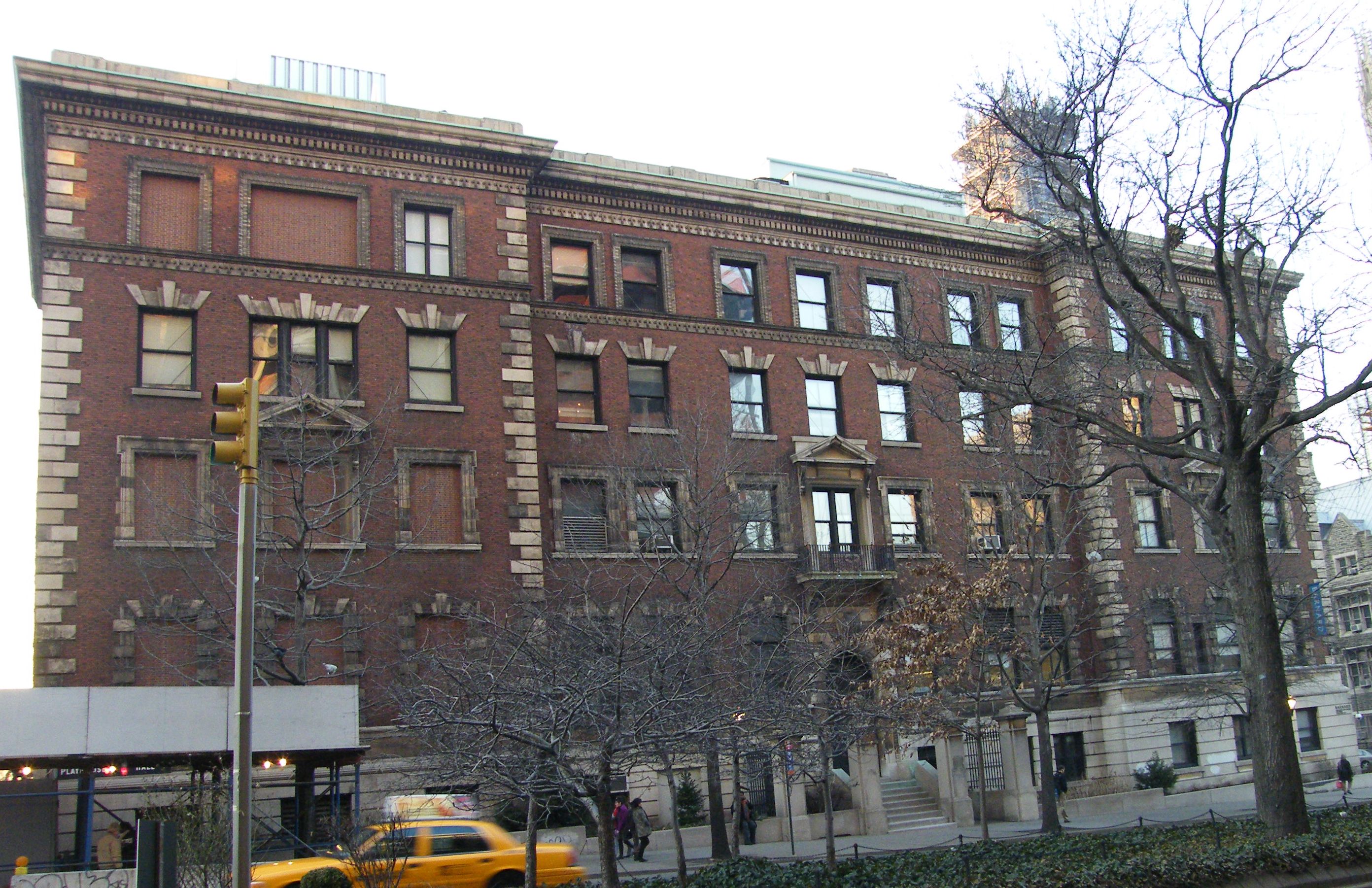
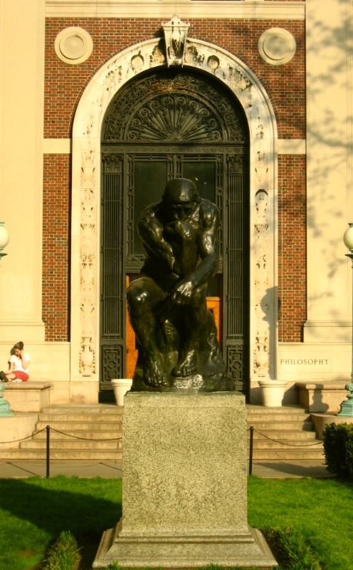
40°48′29.23″N 73°56′41.15″W / 40.8081194°N 73.9447639°WHarlem 61 Philosophy Hall 
July 31, 2003 1150 Amsterdam Avenue
40°48′26″N 73°57′41″W / 40.80722°N 73.96139°WMorningside Heights Edwin Howard Armstrong invented FM radio in a basement lab 62 Public School 157 
December 10, 1982 327 St. Nicholas Ave.
40°48′42″N 73°57′9″W / 40.81167°N 73.9525°WNew York 63 Pupin Physics Laboratories, Columbia University 
October 15, 1966 Broadway and 120th St.
40°48′36″N 73°57′42″W / 40.81°N 73.96167°WMorningside Heights First successful atom splitting on U.S. soil performed in basement lab 64 Riverside Park and Drive 
September 2, 1983 From 72nd St. to 129th St.
40°47′53″N 73°58′31″W / 40.79806°N 73.97528°WNew York First major Robert Moses project in Manhattan sped travel to Bronx and made riverfront accessible as park 65 Paul Robeson Home 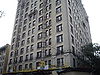
December 8, 1976 555 Edgecombe Ave.
40°50′4″N 73°56′20″W / 40.83444°N 73.93889°WNew York 66 St. Andrew's Episcopal Church 
March 18, 1980 2067 5th Ave.
40°48′28″N 73°56′33″W / 40.80778°N 73.9425°WHarlem 67 St. Nicholas Historic District 
October 29, 1975 W. 138th and W. 139th Sts. (both sides) between 7th and 8th Aves.
40°49′5″N 73°56′37″W / 40.81806°N 73.94361°WHarlem 68 St. Philip's Church 
September 25, 2008 210-216 West 134th St.
40°48′52.82″N 73°56′43″W / 40.8146722°N 73.94528°WHarlem new listing; refnum 08000933 69 St. Walburga's Academy 
July 28, 2004 630 Riverside Dr. (@ 140th)
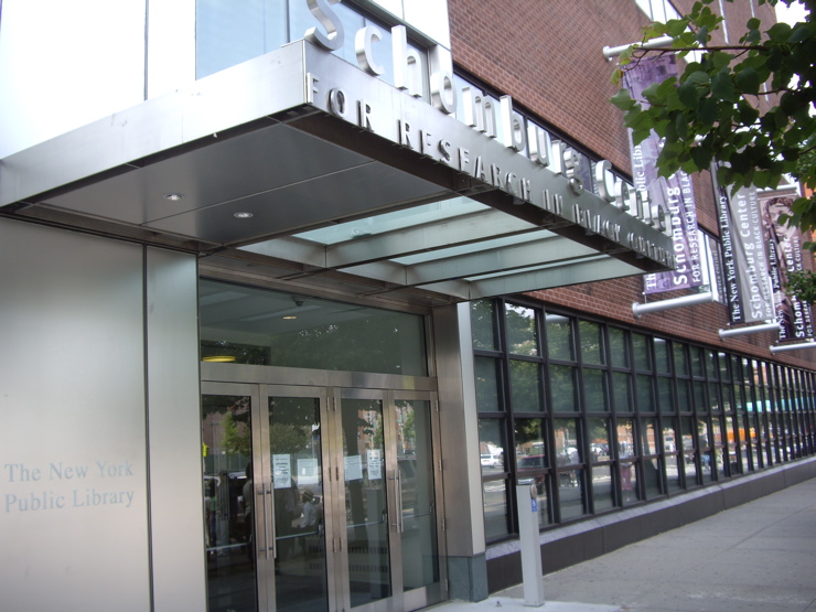
40°49′27″N 73°57′18″W / 40.82417°N 73.955°WNew York 70 Schomburg Center for Research in Black Culture 
September 21, 1978 103 W. 135th St.
40°48′52″N 73°56′29″W / 40.81444°N 73.94139°WHarlem 71 Sheffield Farms Stable 
November 9, 2005 3229 Broadway (@ 130th)
40°49′0″N 73°57′30″W / 40.816667°N 73.95833°WNew York 72 Students' Hall 
November 15, 2003 Barnard College, 3005 Broadway
40°48′32″N 73°57′52″W / 40.80889°N 73.96444°WMorningside Heights built in 1916, now known as Barnard Hall 73 Substation 17 
February 9, 2006 127-129 Hillside Ave. (nr Ft Tryon)
40°51′36″N 73°55′37″W / 40.86°N 73.92694°WWashington Heights 74 Substation 219 
February 9, 2006 309 W. 133rd St.
40°48′56″N 73°56′55″W / 40.81556°N 73.94861°WHarlem 75 Sugar Hill Historic District 
April 11, 2002 Roughly bounded by W. 155th St., 145th St., Bradhurst Ave. and Convent Ave.
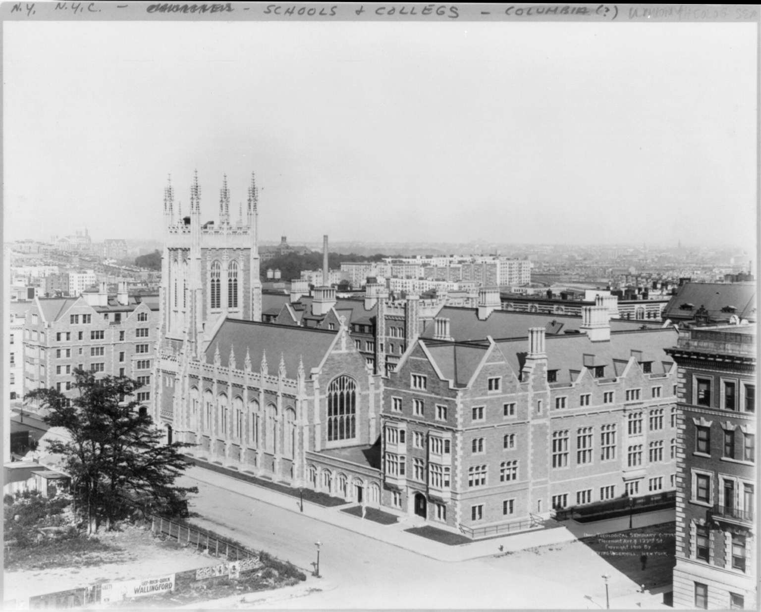
40°49′38″N 73°56′36″W / 40.82722°N 73.94333°WNew York 76 Union Theological Seminary 
April 23, 1980 W. 120th St. and Broadway
40°48′41″N 73°57′51″W / 40.81139°N 73.96417°WMorningside Heights 77 US Post Office-Inwood Station 
May 11, 1989 90 Vermilyea Ave.
40°51′58″N 73°55′26″W / 40.86611°N 73.92389°WNew York 78 Washington Bridge 
September 22, 1983 Between Amsterdam and Undercliff Aves.
40°50′42″N 73°55′29″W / 40.845°N 73.92472°WNew York 79 West 147th-149th Streets Historic District 
May 18, 2003 Roughly bounded by Eighth Ave., W. 149th St., Seventh Ave., and W. 147th Ave.
40°49′26″N 73°56′22″W / 40.82389°N 73.93944°WHarlem Former NRHP listings
Landmark name Image Date listed Location City or Town Summary 1 Florence Mills House 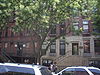
December 8, 1976 (listed)
January 9, 2009 (removed)220 W. 135th St.
40°49′31″N 73°56′9″W / 40.82528°N 73.93583°WNew York Mistakenly designated National Historic Landmark of building that is blocks away from building where Florence Mills actually lived, which was since torn down. In 2009, the house was delisted from the NRHP and de-designated as NHL. See also
- County: National Register of Historic Places listings in New York County, New York
- State: National Register of Historic Places listings in New York
- Municipal: List of New York City Designated Landmarks in Manhattan above 110th Street
References
- ^ The latitude and longitude information provided in this table was derived originally from the National Register Information System, which has been found to be fairly accurate for about 99% of listings. For about 1% of NRIS original coordinates, experience has shown that one or both coordinates are typos or otherwise extremely far off; some corrections may have been made. A more subtle problem causes many locations to be off by up to 150 yards, depending on location in the country: most NRIS coordinates were derived from tracing out latitude and longitudes off of USGS topographical quadrant maps created under North American Datum of 1927, which differs from the current, highly accurate GPS system used by Google maps. Chicago is about right, but NRIS longitudes in Washington are higher by about 4.5 seconds, and are lower by about 2.0 seconds in Maine. Latitudes differ by about 1.0 second in Florida. Some locations in this table may have been corrected to current GPS standards.
- ^ "National Register of Historic Places: Weekly List Actions". National Park Service, United States Department of the Interior. Retrieved on November 18, 2011.
Categories:- National Register of Historic Places in Manhattan
-


Wikimedia Foundation. 2010.