- Bashaw, Alberta
Infobox Settlement
official_name = Town of Bashaw
other_name =
native_name =
nickname =
settlement_type = Town
motto = We want you here with us
imagesize =
image_caption =
flag_size =
image_
seal_size =
image_shield =
shield_size =
city_logo =
citylogo_size =
mapsize =
map_caption =
mapsize1 =
map_caption1 =
image_dot_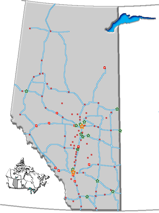
dot_mapsize = 200px
dot_map_caption = Location of Bashaw inAlberta
dot_x = 105 |dot_y = 177
pushpin_
pushpin_label_position =
pushpin_map_caption =
pushpin_mapsize =
subdivision_type = Country
subdivision_name = CAN
subdivision_type1 = Province
subdivision_name1 = AB
subdivision_type2 = Region
subdivision_name2 =Central Alberta
subdivision_type3 = Census division
subdivision_name3 = 10
subdivision_type4 = County
subdivision_name4 = Camrose No. 22
government_footnotes =
government_type =
leader_title = Mayor
leader_name = Bob Cammidge
leader_title1 = Governing body
leader_name1 = Bashaw Town Council
leader_title2 = MP
leader_name2 =Kevin Sorenson (Crowfoot)
leader_title3 =
leader_name3 =
leader_title4 =
leader_name4 =
established_title =
established_date =
established_title2 =
established_date2 =
established_title3 =
established_date3 =
area_magnitude =
unit_pref =
area_footnotes =
area_total_km2 = 2.84
area_land_km2 =
area_water_km2 =
area_total_sq_mi =
area_land_sq_mi =
area_water_sq_mi =
area_water_percent =
area_urban_km2 =
area_urban_sq_mi =
area_metro_km2 =
area_metro_sq_mi =
population_as_of = 2006
population_footnotes =
population_note =
population_total = 796
population_density_km2 = 279.8
population_density_sq_mi =
population_metro =
population_density_metro_km2 =
population_density_metro_sq_mi =
population_urban =
population_density_urban_km2 =
population_density_urban_sq_mi =
population_blank1_title =
population_blank1 =
population_density_blank1_km2 =
population_density_blank1_sq_mi =
timezone = MST
utc_offset = -7
timezone_DST =
utc_offset_DST =
latd=52 |latm=34 |lats=46 |latNS=N
longd=112 |longm=58 |longs=28 |longEW=E
elevation_footnotes =
elevation_m = 792
elevation_ft =
postal_code_type = Postal code span
postal_code = T0B-0H0
area_code =
blank_name = Highways
blank_info = Highway 21
Highway 53
blank1_name = Waterways
blank1_info = Buffalo Lake
Red Deer Lake
website = [http://www.townofbashaw.com/ Town of Bashaw]
footnotes =Bashaw is a town in
central Alberta located at the junction of Highway 21 and Highway 53. Formerly one of the most recognizable sources of cheese production in Alberta, the Bashaw cheese plant has been closed since the spring of 2002.Demographics
In 2006, Bashaw had a population of 796 living in 350 dwellings, a -3.5% increase from 2001. The town has a land area of km2 to mi2|2.84|abbr=yes|wiki=yes and a
population density of Pop density km2 to mi2|279.8| spell=UK | abbr=yes.Cite web| url= http://www12.statcan.ca/english/census06/data/profiles/community/Details/Page.cfm?Lang=E&Geo1=CSD&Code1=4810002&Geo2=PR&Code2=48&Data=Count&SearchText=Bashaw&SearchType=Begins&SearchPR=01&B1=All&GeoLevel=&GeoCode=4810002 | title= Bashaw - Community Profile | author= Statistics Canada| authorlink= Statistics Canada| year= Census 2006 | accessdate= 2007-06-09]ee also
*
List of communities in Alberta
*Towns of Alberta References
External links
* [http://www.townofbashaw.com/ Town of Bashaw]
Geographic Location (8-way)
Centre = Bashaw
North =

Wikimedia Foundation. 2010.