- Sanana Island
Infobox Islands
name = Sanana
image caption =
locator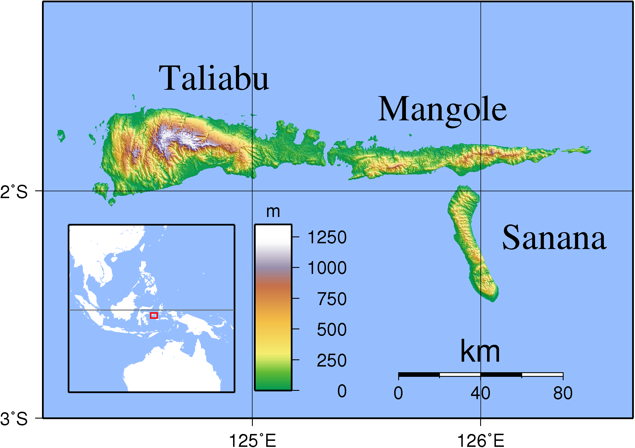
native name =
native name link =
location =South East Asia
coordinates= coord|2.2|S|125.91667|E|type:isle
archipelago =Maluku Islands
total islands =
major islands =
area = 558 km²
highest mount =
elevation =
country = Indonesia
country admin divisions title =
country admin divisions =
country largest city =
country largest city population =
population =
population as of =
density =
ethnic groups =Sanana is an island, part of
Sula Islands which again is part ofMaluku Islands inIndonesia . Sanana is located at coord|2.2|S|125.9166667|E|display=inline,title, south ofMangole Island . The area of the island is 558 km². The other large Sula Islands areTaliabu andMangole .There are ethnic tensions on Sanana between
Muslims andChristians .ref|tensionReferences
* [http://www.wsws.org/articles/1999/jan1999/indo-j30.shtml Ambon rioting leaves 100 dead in Indonesia] from "World Socialist Website",
30 January 1999
Wikimedia Foundation. 2010.