- County Armagh
-
County Armagh
Contae Ard Mhacha
Coontie Airmagh / Armagh
Coat of arms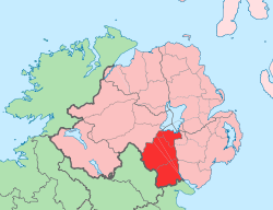
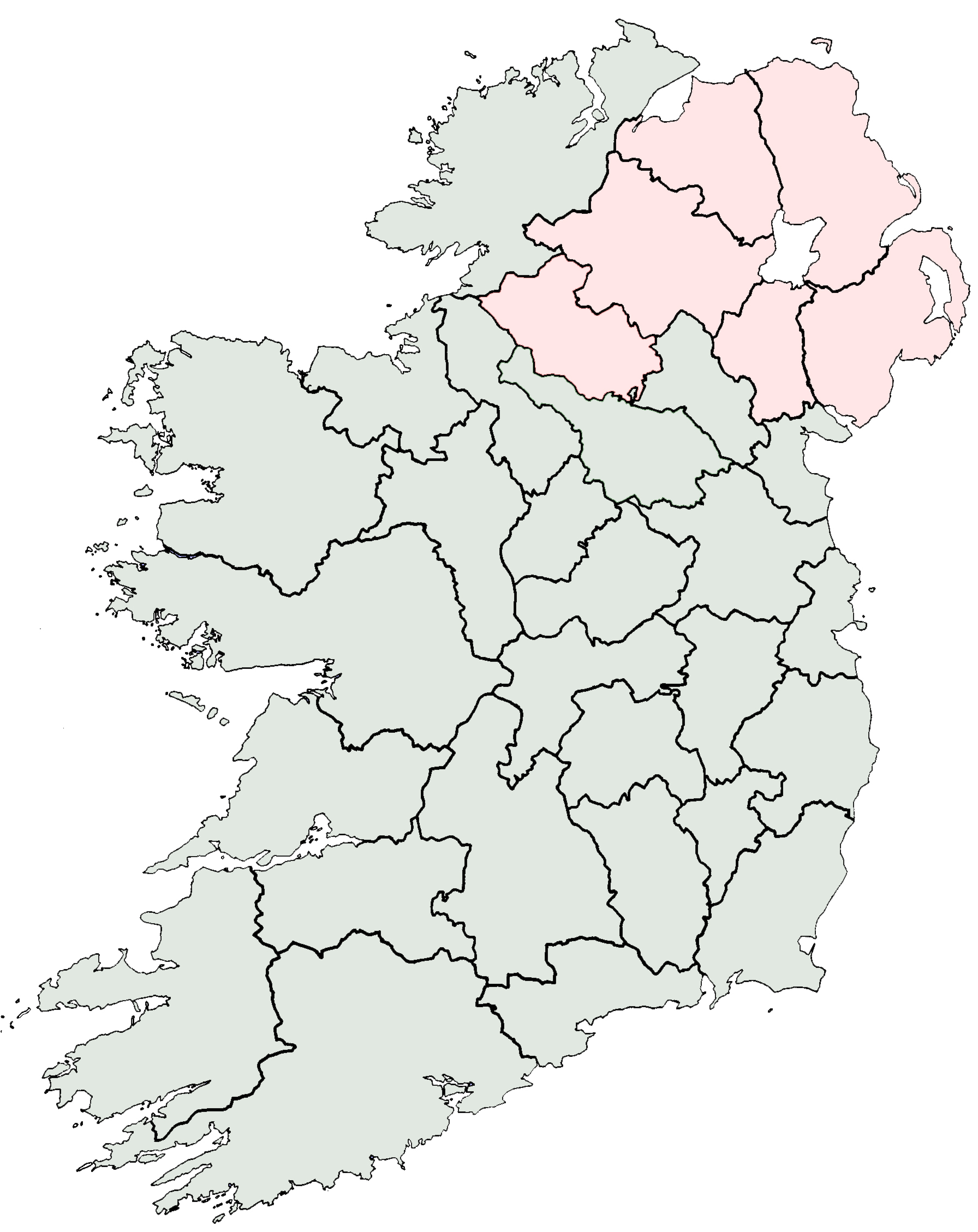
Country United Kingdom Region Northern Ireland Province Ulster County seat Armagh Area – Total 484.2 sq mi (1,254 km2) Area rank 28th Population (2001) 159,085 – Rank 17th [1] Contae Ard Mhacha is the Irish name; Coontie Armagh[2] and Coontie Airmagh[3] are Ulster Scots spellings. County Armagh (named after its county town, Armagh) is one of six counties that form Northern Ireland, situated in the north-east of the island of Ireland. Adjoined to the south shore of Lough Neagh, the county covers an area of 1,254 km², with a population of approximately 159,085. It is also one of the thirty-two traditional counties of Ireland, lying within the historical province of Ulster. County Armagh is known as the "Orchard County" because the land is very fertile for apple-growing.[4]
Contents
Etymology
The name "Armagh" derives from the Irish word Ard meaning "height" and Macha, together meaning "height (or high place) and Macha. Macha is mentioned in the Book of the Taking of Ireland, and is also said to have been responsible for the construction of the hill site of Emain Macha (now Navan Fort near Armagh City) to serve as the capital of the Ulaid kings (who give their name to Ulster), also thought to be Macha's height.
Geography & features
From its highest point at Slieve Gullion, in the south of the County, Armagh's land falls away from its rugged south with Carrigatuke, Lislea and Camlough mountains, to rolling drumlin country in the middle and west of the county and finally flatlands in the north where rolling flats and small hills reach sea level at Lough Neagh.
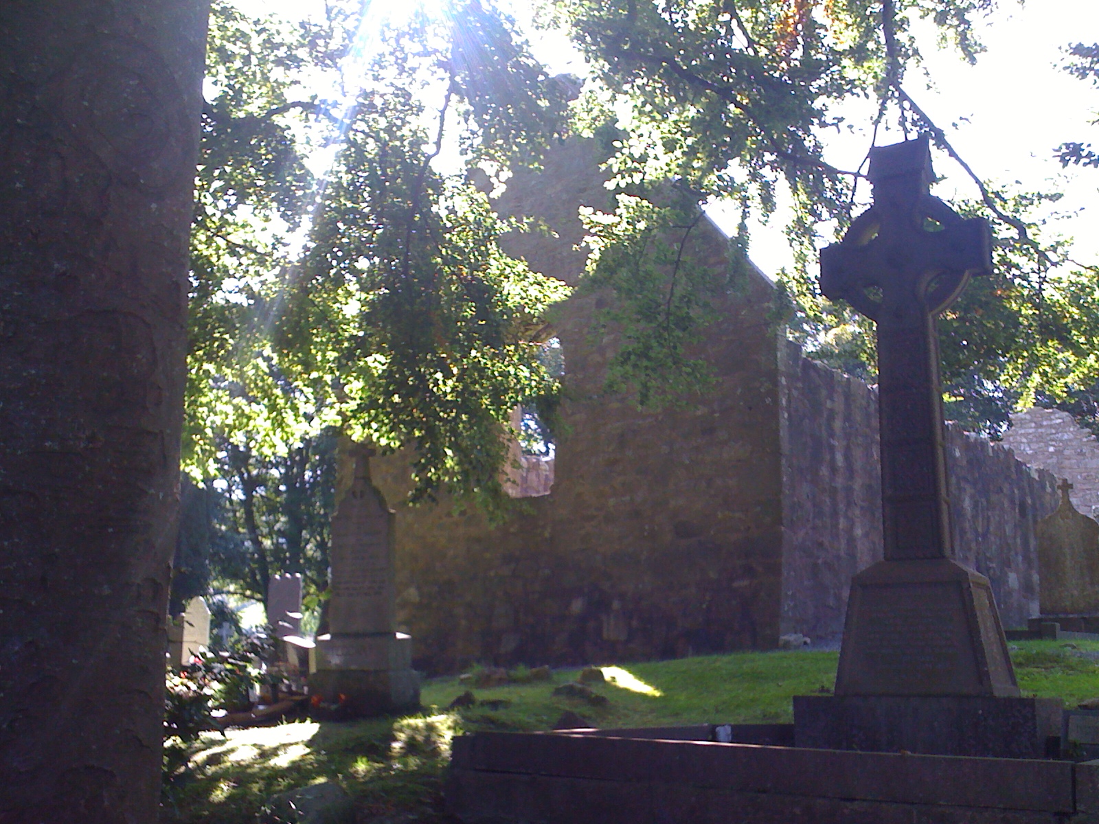
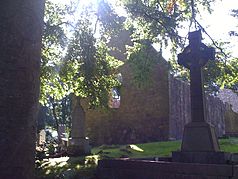 Medieval front of the ruined 6th Century Killeavy Old Church, Killeavy
County Armagh's boundary with Louth is marked by the rugged Ring of Gullion rising in the south of the county whilst much of its boundary with Monaghan and Down goes unnoticed with seamless continuance of drumlins and small lakes. The River Blackwater marks the border with County Tyrone and Lough Neagh otherwise marks out the County's northern boundary.
There are also a number of uninhabited islands in the county's section of Lough Neagh: Coney Island, Coney Island Flat, Croaghan Flat, Derrywarragh Island, Padian, Phil Roe's Flat and the Shallow Flat.
Climate
Despite lying in the east of Ireland, Armagh enjoys an Oceanic climate strongly influenced by the Gulf Stream with damp mild winters, and temperate, wet summers. Overall temperatures rarely drop below freezing during daylight hours, though frost is not infrequent in the months November to February. Snow rarely lies for longer than a few hours even in the elevated south-east of the County. Summers are mild and wet and although with sunshine often interspersed with showers, daylight lasts for almost 18 hours during high-summer.
Climate data for County Armagh Month Jan Feb Mar Apr May Jun Jul Aug Sep Oct Nov Dec Year Average high °F 45 45.7 49.5 54.0 59.4 63.9 67.3 66.6 61.9 55 49.1 45.7 {{{year high F}}} Average low °F 35.1 35.1 37.2 39 43.3 48.4 52.5 52 48 44.1 38.3 36.3 {{{year low F}}} Precipitation inches 3.142 2.264 2.555 2.181 2.142 2.193 2.059 2.831 2.642 3.193 2.839 3.283 29.898 Average high °C 7 7.6 9.7 12.2 15.2 17.7 19.6 19.2 16.6 13 9.5 7.6 12.9 Average low °C 1.7 1.7 2.9 4 6.3 9.1 11.4 11 9 6.7 3.5 2.4 5.8 Precipitation mm 79.8 57.5 64.9 55.4 54.4 55.7 52.3 71.9 67.1 81.1 72.1 83.4 759.4 Source: [5] History
Historical populations Year Pop. ±% 1659 6,748 — 1821 197,427 +2825.7% 1831 220,134 +11.5% 1841 232,393 +5.6% 1851 196,084 −15.6% 1861 190,086 −3.1% 1871 179,260 −5.7% 1881 163,177 −9.0% 1891 143,289 −12.2% 1901 125,392 −12.5% 1911 120,291 −4.1% 1926 110,070 −8.5% 1937 108,815 −1.1% 1951 114,154 +4.9% 1961 117,594 +3.0% 1966 125,164 +6.4% 1971 133,969 +7.0% 1981 133,230 −0.6% 1991 141,585 +6.3% 2001 162,957 +15.1% [6][7][8][9][10][11] Ancient Armagh was the territory of the Ulaid (also known as Voluntii, Ultonians, Ulidians, Ulstermen) before the fourth century AD. It was ruled by the Red Branch, whose capital was Emain Macha (or Navan Fort) near Armagh. The site, and subsequently the city, were named after the goddess Macha. The Red Branch play an important role in the Ulster Cycle, as well as the Cattle Raid of Cooley. However, they were eventually driven out of the area by the Three Collas, who invaded in the 4th century and held power until the 12th. The Clan Colla ruled the area known as Airghialla or Oriel for these 800 years.
The chief Irish septs of the county were descendants of the Collas, the O'Hanlons and MacCanns, and the Ui Neill, the O'Neills of Fews. Armagh was divided into several baronies: Armagh was held by the O'Rogans, Lower Fews was held by O'Neill of the Fews, and Upper Fews were under governance of the O'Larkins, who were later displaced by the MacCanns. Oneilland East was the territory of the O'Garveys, who were also displaced by the MacCanns. Oneilland West, like Oneilland East, was once O'Neill territory, until it was then held by the MacCanns, who were Lords of Clanbrassil. Upper and Lower Orior were O'Hanlon territory. Tiranny was ruled by Ronaghan. Miscellaneous tracts of land were ruled by O'Kelaghan.
Armagh was the seat of St. Patrick, and the Catholic Church continues to be his see. County Armagh is one of four counties of Northern Ireland to presently have a majority of the population from a Catholic background, according to the 2001 census.
The Troubles
The South of Armagh was the most militarised region in Western Europe due to the history of the Troubles. The region has been a stronghold of support for the IRA, earning it the nickname "Bandit Country". South Armagh is predominantly nationalist, with most of the population being opposed to any form of British presence, especially that of a military nature. See Provisional IRA South Armagh Brigade for further information.
Administration
The primary remaining official use of County Armagh is as a Lieutenancy area and the county retains a lord lieutenant who acts as representative of the British Monarch in the County.
County Armagh ceased to serve as a local government unit in 1973 and currently the county is divided into four district councils for local government purposes, namely Armagh City and District Council, most of Craigavon Borough Council, approximately the western third of Newry and Mourne District Council and a small part of Dungannon and South Tyrone Borough Council, centred around Peatlands Park. With the proposed reform of Local government in Northern Ireland in 2011, County Armagh is proposed to be form part of two new council areas, Armagh City and Bann District, and Newry City and Down.
Armagh has ceased to serve as an electoral constituency in 1983 but remains the core of the Newry and Armagh (UK Parliament constituency) and Newry & Armagh Northern Ireland Assembly electoral constituencies. County Armagh also remains as a district for legal and property purposes however its baronies no longer have any administrative use.
The -XZ suffix is currently used on vehicle registration plates for vehicles registered in County Armagh.
Settlements
Main article: List of places in County ArmaghLarge towns
(population of 18,000 or more and under 75,000 at 2001 Census)[12]
- Newry (though part of the settlement is in County Down)
- Craigavon, includes:
Medium towns
(population of 10,000 or more and under 18,000 at 2001 Census)[12]
- Armagh (has city status)
Small towns
(population of 4,500 or more and under 10,000 at 2001 Census)[12]
- none
Intermediate settlements
(population of 2,250 or more and under 4,500 at 2001 Census)[12]
Villages
(population of 1,000 or more and under 2,250 at 2001 Census)[12]
Small villages or hamlets
(population of fewer than 1,000 at 2001 Census)[12]
- Acton
- Annaghmore
- Annahugh
- Aughanduff
- Ardress
- Ballymacnab
- Bannfoot
- Belleeks
- Blackwatertown
- Bleary
- Broomhill
- Camlough
- Clonmore
- Charlemont
- Cladymore
- Creggan
- Cullaville
- Cullyhanna
- Darkley
- Derryadd
- Derryhale
- Derrymacash
- Derrymore
- Derrynoose
- Derrytrasna
- Drumintee
- Drumnacanvy
- Edenaveys
- Forkill
- Hamiltonsbawn
- Jonesborough
- Killean
- Killylea
- Kilmore
- Lislea
- Lisnadill
- Loughgall
- Loughgilly
- Madden
- Maghery
- Meigh
- Middletown
- Milford
- Mountnorris
- Mullaghbawn
- Mullaghbrack
- Mullaghglass
- Newtownhamilton
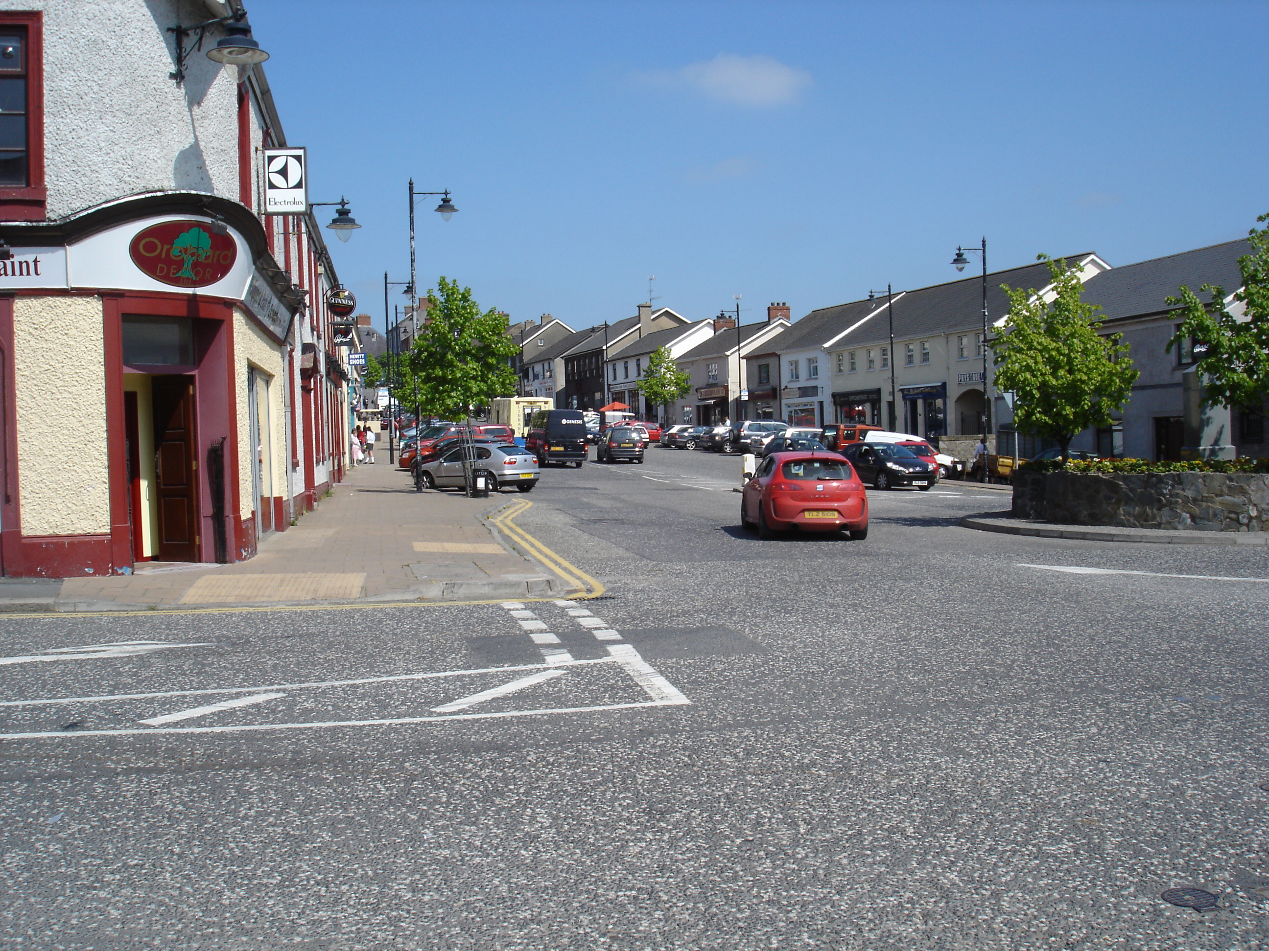
- Scotch Street
- Silverbridge
- Tartaraghan
- Tynan
- Whitecross
Subdivisions
Baronies
Main article: Baronies of Ireland- Armagh
- Fews Lower
- Fews Upper
- Oneilland East
- Oneilland West
- Orior Lower
- Orior Upper
- Tiranny
Parishes
Main article: List of civil parishes of County ArmaghTownlands
Main article: List of townlands in County ArmaghTransport
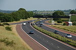 The M1 near Lurgan
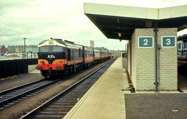
County Armagh is traversed by two major highways - the M1 linking Belfast to Dungannon crossed the North of the County whilst the A1/N1 from Belfast to Dublin runs in the far south east of the County. Armagh has numerous local roads connecting settlements in the county. Armagh once had a well-developed railroad network with connections to, amongst others, Armagh City, Culloville, Goraghwood, Markethill, Vernersbridge, Tynan (see History of rail transport in Ireland ) but today only Newry (Bessbrook), Portadown, Poyntzpass, Scarva, and Lurgan are served by rail.
Ulsterbus provides the most extensive public transport system within the county, including frequent bus transfers daily from most towns to Belfast. Northern Ireland Railways / Iarnród Éireann's Enterprise service provides connections to Dublin in little over and hour and Belfast in little over forty minutes several times daily.
People associated with County Armagh
- See main article: People from County Armagh
- George Buchanan Armstrong (1822–1871), born in County Armagh, developed new system of sorting mail on trains in the United States[13]
- Brian Boru (941 - 1014), buried in Armagh City, victor of Clontarf, High King of Ireland
- Samuel Knox (1756–1832), born in County Armagh, Presbyterian clergyman, school principal, and author.[14]
- Frank Aiken (1898–1983), born in County Armagh, Irish Republican, Irish Minister for External Affairs, Tánaiste
- Tomás Ó Fiaich (1923–1990), born in County Armagh, clergyman, Archbishop of Armagh, Prelate
- Seamus Mallon (1936 - ), born in County Armagh, first deputy First Minister of Northern Ireland
- Ian Paisley (1926 - ), born in County Armagh, clergyman, politician, second First Minister of Northern Ireland
- Robert Stewart, Viscount Castlereagh (1759–1822), educated in The Royal School, Armagh. British Foreign Secretary, Secretary for War, Leader of the United Kingdom House of Commons and Chief Secretary for Ireland
- Richard Wellesley, 1st Marquess Wellesley (1760–1842), educated in The Royal School, Armagh. Lord Lieutenant of Ireland and Governor General of India
- Arthur Hunter Palmer (1819–1898), born in County Armagh, 5th Premier of Queensland
- Eunan O'Neill (1982), born in County Armagh, journalist, Russia Today
- Connor Phillips (1981), born in County Armagh, Radio, Television Presenter and DJ
Places of interest
- Armagh Observatory, founded in 1790 & Armagh Planetarium, a modern working astronomical research institute with a rich heritage
- Armagh Public Library on Abbey Street in Armagh City, especially rich in 17th and 18th century English books, including Dean Jonathan Swift's own copy of the first edition of his Gulliver's Travels with his manuscript corrections
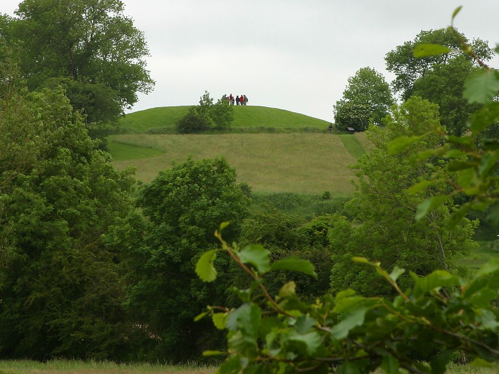
- Navan Fort, now a tree ring mound which once housed the rulers of Ulster with modern interactive visitor centre
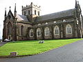
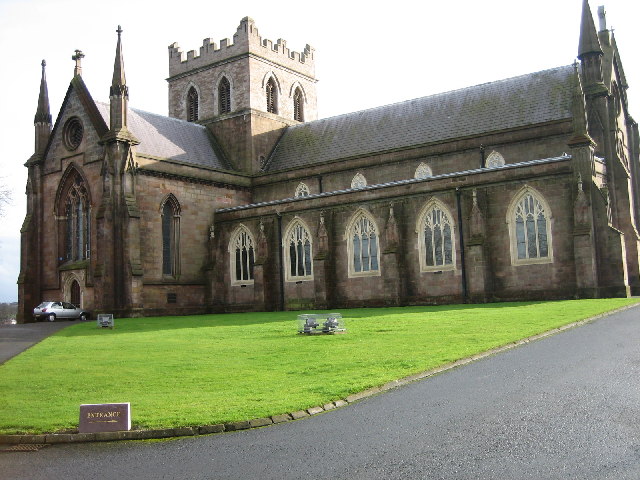
- Saint Patrick's Church of Ireland Cathederal, founded 445, seat of the Church of Ireland's Archbishop of Armagh, Primate of All Ireland, containing the grave of Brian Boru
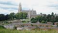
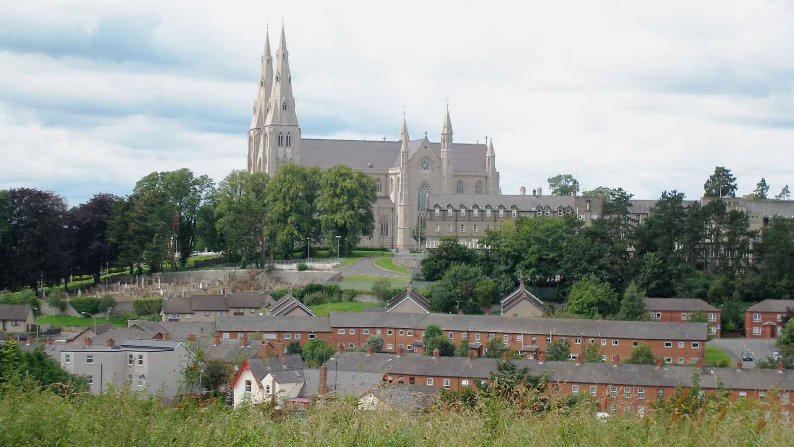
- Saint Patrick's Roman Catholic Cathederal, commenced in 1838, seat of the Roman Catholic Archbishop of Armagh, Primate of All Ireland, stands on a hill and dominates the local countryside
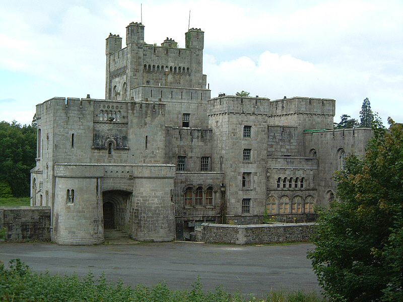
- Gosford Castle, mock medieval 19th century castle with substantial grounds
- Slieve Gullion, extinct volcano with crater lake, highest burial cairn in Ireland, views of 9 counties, with visitor centre at its foot
Gallery
-
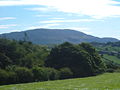
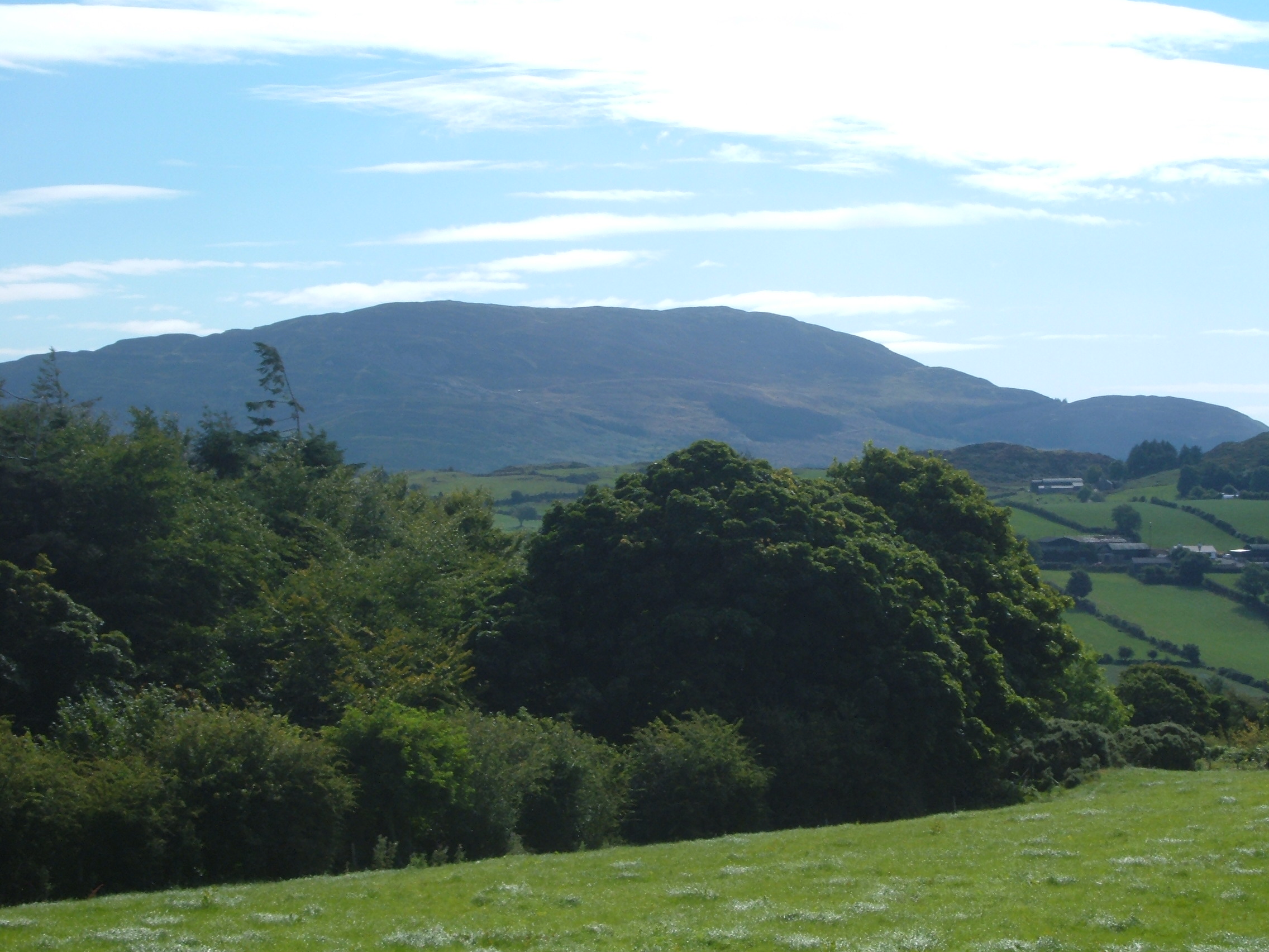
View of Slieve Gullion
-
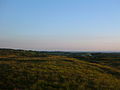
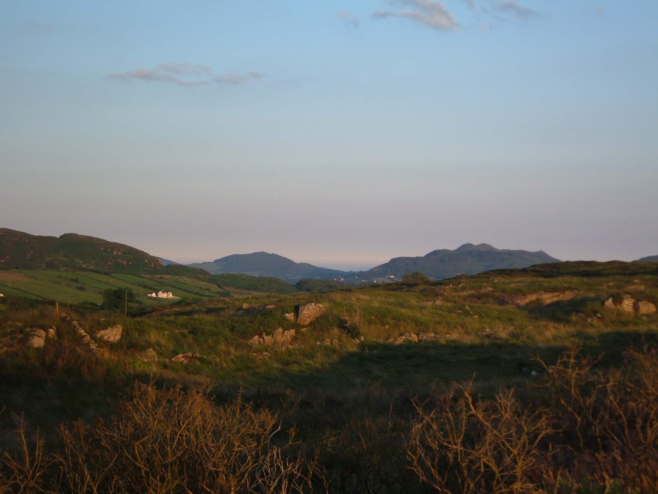
South Armagh Countryside
-

Forkhill Mountain
-
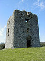
Moyry Castle
-
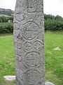
Killnasaggart Stone, 700 A.D.
-
St. Patrick's (Anglican) Cathederal, est. 445
-
Armagh City
-
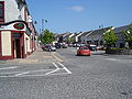
The small town of Markethill
-
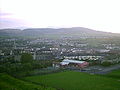
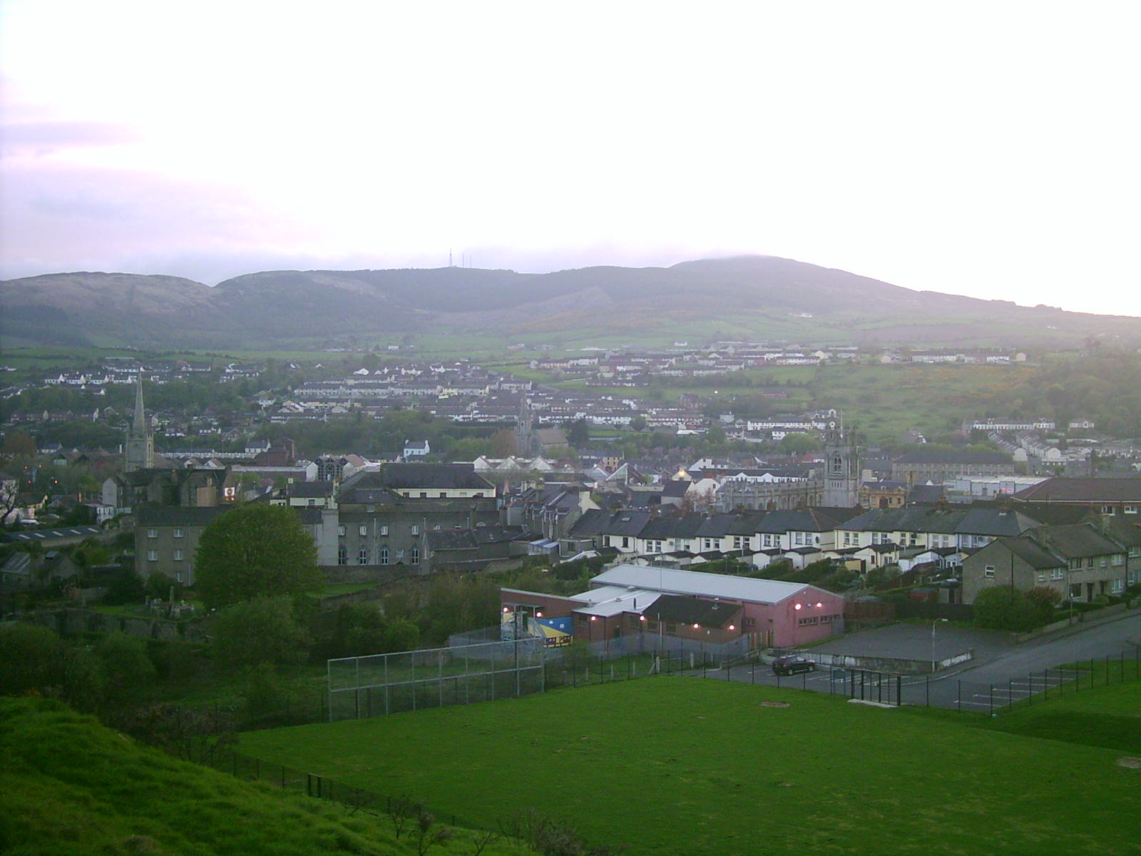
County Armagh part of Newry in the background
-
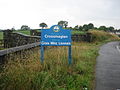
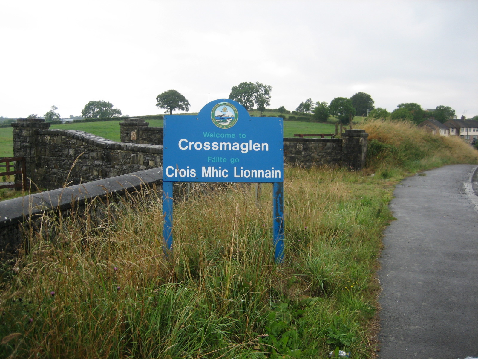
Approach to Crossmaglen
-

Gosford Castle,outside of Markethill
See also
- Abbeys and priories in Northern Ireland (County Armagh)
- List of Irish counties by area
- List of Irish counties by population
- Lord Lieutenant of Armagh
- High Sheriff of Armagh
References
- ^ Census figures are no longer released detailing returns for Counties but rather Parliamentary Constituency, Local Government District, Electoral Ward and Output Area. This figure is based on a tally of all persons resident in the wards comprising County Armagh on April 29th, 2001, i.e. all electoral wards of the Newry & Armagh Parliamentary Constituency (minus St. Mary's, St. Patrick's and Windsor Hill from County Down) combined with the 17 wards in the Upper Bann Parliamentary Constituency from County Armagh (i.e. Derrytrasna, Birches, Bleary, Drumgask, Taghnevan, Court, Annagh, Brownstown, Ballybay, Ballyoran, Corcrain, Edenderry, Killycomain, Kernan, Drumgor, Mourneview, Church, Knocknashane, Parklane, Woodville, Drumnamoe, and Tavanagh. "Area Profiles". Northern Ireland Neighbourhood Information Service. http://www.ninis.nisra.gov.uk/mapxtreme/default.asp. Retrieved 2008-08-08.
- ^ Tourism Ireland: 2007 Yearly Report in Ulster Scots
- ^ [www.northsouthministerialcouncil.org/web_2006_ulster_scots_report.pdf North-South Ministerial Council: 2006 Annual Report in Ulster Scots]
- ^ http://www.bbc.co.uk/northernireland/yourplaceandmine/armagh/apple_blossom.shtml
- ^ "Met Office". http://www.metoffice.gov.uk/climate/uk/averages/19712000/sites/armagh.html=. Retrieved October 4, 2008.[dead link]
- ^ For 1653 and 1659 figures from Civil Survey Census of those years, Paper of Mr Hardinge to Royal Irish Academy March 14, 1865.
- ^ Census for post 1821 figures.
- ^ http://www.histpop.org
- ^ http://www.nisranew.nisra.gov.uk/census
- ^ Lee, JJ (1981). "On the accuracy of the Pre-famine Irish censuses". In Goldstrom, J. M.; Clarkson, L. A.. Irish Population, Economy, and Society: Essays in Honour of the Late K. H. Connell. Oxford, England: Clarendon Press.
- ^ Mokyr, Joel; O Grada, Cormac (November). "New Developments in Irish Population History, 1700-1850". The Economic History Review 37 (4): 473–488. doi:10.1111/j.1468-0289.1984.tb00344.x. http://www3.interscience.wiley.com/journal/120035880/abstract
- ^ a b c d e f "Statistical classification of settlements". NI Neighbourhood Information Service. http://www.ninis.nisra.gov.uk/mapxtreme_towns/statistical%20classification.htm. Retrieved 23 February 2009.
- ^ Who Was Who in America, Historical Volume, 1607-1896. Marquis Who's Who. 1963.
- ^ Ibid.
- Neil Lennon-former captain of Glasgow Celtic F.C. (Autobiography: Man and Bhoy)
External links
- County Armagh at the Open Directory Project
- Armagh and Down tourism
- Armagh history
- Public Records Office of Northern Ireland - Irish Administrative Divisions
- Triskelle - County Armagh
- Notes on County Armagh
- Selected Monuments in County Armagh
Counties and cities of Northern Ireland Counties - Antrim
- Armagh
- Down
- Fermanagh
- Londonderry
- Tyrone
Cities Counties of Ireland The counties are listed per provinceConnacht 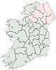
Munster Leinster Ulster Italics denote non-administrative counties. Brackets denote eponymous cities or non-traditional counties. † denotes counties of Northern IrelandCategories:- Ulster
- County Armagh
- Counties of Northern Ireland
- Lord-Lieutenants of Armagh


Wikimedia Foundation. 2010.