- West Dunbartonshire
-
This article is about the West Dunbartonshire council area of Scotland. For other uses, see West Dunbartonshire (disambiguation).
West Dunbartonshire
Wast Dunbartonshire
Siorrachd Dhùn Bhreatainn an Iar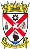
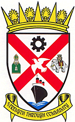
Coat of arms
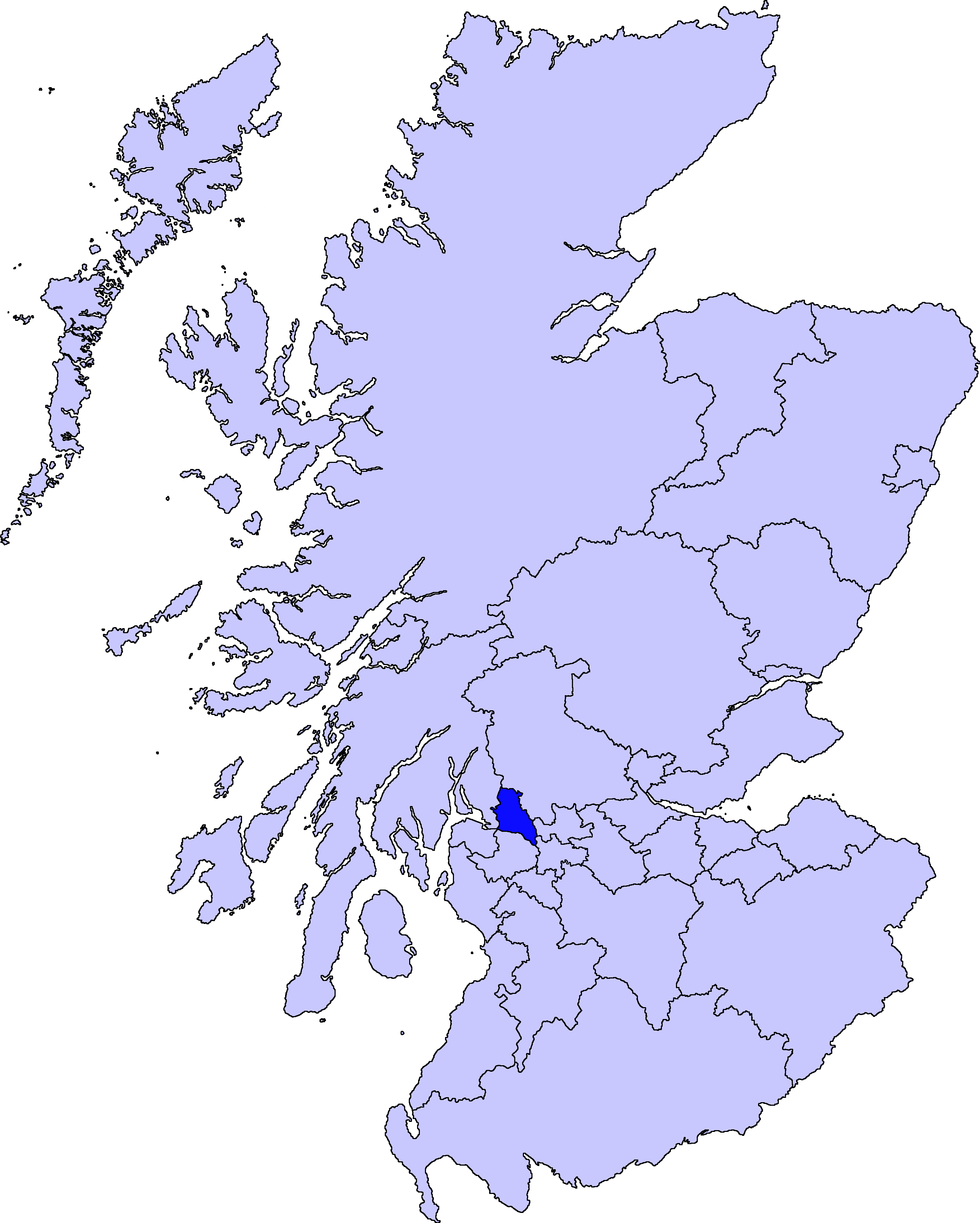
Location 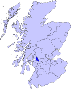
Geography Area Ranked 31st - Total 159 km2 (61 sq mi) Admin HQ Dumbarton ISO 3166-2 GB-WDU ONS code 00QG Demographics Population Ranked 22nd - Total (2005) 90,600 - Density 570 / km² Politics West Dunbartonshire Council
http://www.west-dunbarton.gov.uk/Control Scottish National Party/Independent MPs - Gemma Doyle
MSPs West Dunbartonshire (Scots: Wast Dunbartonshire; Scottish Gaelic: Siorrachd Dhùn Bhreatainn an Iar, pronounced [ʃirˠəxk ɣumˈpɾʲɛʰt̪ɪɲ ə ɲiəɾ]) is one of the 32 local government council areas of Scotland. Bordering onto the west of the City of Glasgow, containing many of Glasgow's commuter towns and villages as well as the city's suburbs, West Dunbartonshire also borders onto Argyll and Bute, Stirling, East Dunbartonshire and Renfrewshire.
The area was formed on 1 April 1996 from part of the former Strathclyde Region, namely the entire district of Clydebank and the Dumbarton district less the Helensburgh area. In the Local Government etc. (Scotland) Act 1994 that created the council area its name was Dumbarton and Clydebank. The council elected as a shadow authority in 1995 resolved to change the name of the area to West Dunbartonshire.[1]
The area is essentially composed of three parts: the towns of Dumbarton and Clydebank and the Vale of Leven district.
West Dunbartonshire is administered from Dumbarton, although Clydebank is the largest town.
Contents
Governance and politics
The council is run by 22 councillors elected from 6 wards.[2] Their political division is as follows.
The administration is SNP/with Independent support.
Towns and villages
- Alexandria
- Balloch
- Bonhill
- Bowling
- Clydebank
- Dalmuir
- Drumry
- Dumbarton
- Duntocher
- Faifley
- Hardgate
- Jamestown
- Milton
- Old Kilpatrick
- Renton
Places of interest
- Erskine Bridge
- Dumbarton Castle
- Inchmurrin island
- Kilpatrick Hills
- Loch Lomond
- Loch Lomond and the Trossachs National Park
- River Leven
References
External links
Council areas of Scotland Aberdeen · Aberdeenshire · Angus · Argyll and Bute · Clackmannanshire · Dumfries and Galloway · Dundee · East Ayrshire · East Dunbartonshire · East Lothian · East Renfrewshire · Edinburgh · Falkirk · Fife · Glasgow · Highland · Inverclyde · Midlothian · Moray · Na h-Eileanan Siar (Western Isles) · North Ayrshire · North Lanarkshire · Orkney · Perth and Kinross · Renfrewshire · Scottish Borders · Shetland · South Ayrshire · South Lanarkshire · Stirling · West Dunbartonshire · West Lothian
Categories:- Council areas of Scotland
- West Dunbartonshire
Wikimedia Foundation. 2010.