- Chimanimani District
-
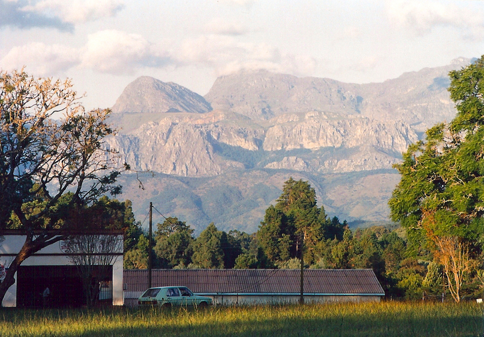
 View of the National Park area from behind Chimanimani village stores
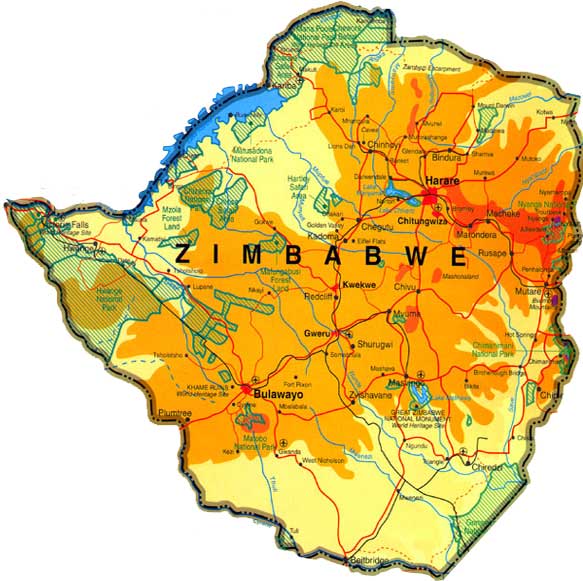
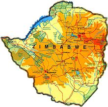 Chimanimani lies on Zimbabwe's eastern border, south of Mutare (click map to enlarge)
 Bridal Veil Falls in the hills above Chimanimani village
Chimanimani (part of which was known as Melsetter 1895–1982) is a mountainous area in the province of Manicaland, eastern Zimbabwe. The region is distinguished by large peaks,carved from a rifted quartzite block, the highest reaching to 2440 m (8005 ft) and stretching for some 50 km (31 mi), forming the border with Mozambique. Between the village of Chimanimani and the border the ranges are gentler and more rounded. The national park is in the southernmost area of the Eastern Highlands, and is 150 km (93 mi) from the town Mutare[1] (known as Umtali until 1982).
Contents
Chimanimani mountains
Much of the range is composed of quartzite ridges, with Monte Binga at 2436m the highest point in Mozambique, right after the border. Chimanimani is one of Zimbabwe's finest mountain wilderness areas and a very popular hiking destination. Close to the town are the scenic Bridal Veil Falls. Nearby is Chirinda forest, Africa’s southernmost tropical rainforest, harbouring strelitzias, wild orchids, tree ferns, cycads and rare trees. The forest is also home to the 1000-year-old Big Tree, a red mahogany (Khaya anthotheca) nearly 70m high and 16m around. There is also an arboretum near the village.
During the Zimbabwe independence war, mountain passes in the Chimanimani area were frequently used by guerilla fighters between Zimbabwe and their camps in Mozambique, who laid mines along local roads to disrupt the local economy. Because of this, the passes were heavily mined by Rhodesian government forces. Land mines have continued to be a real hazard in the area, particularly after heavy rain.
Chimanimani village
The village of Chimanimani was founded by Thomas Moodie in 1892 and in 1895 it was moved to its current site and was officially called Melsetter after Moodie's family home in Scotland. The name was changed in 1982, after Zimbabwean independence (1980). The name initially was made Mandidzudzure, but after consultation with local residents, this was changed again to the current one. According to the 1982 Population Census, the village has a population of 1,370. The village had a tourist office, a bank, grocery, curio shops and the faded colonial Chimanimani Arms Hotel. In 1995 it also had a travellers' hostel called Heaven, with a permaculture smallholding which was a popular source of employment in the village. Frog & Fern Cottages on the way to Bridal Veil Falls provide Self Catering cottages within walking distance of the Village.
An African music and arts festival is organised each year around Easter. The dates for the 2010 Festival can be sourced through the recently resurrected Chimanimani Tourist Association.
References
- ^ Chimanimani (information).
Further reading
- Peter, Godwin (1996). Mukiwa: A White Boy in Africa. UK: Picador. ISBN 0-330-33983-4. Childhood of a white country doctor's son in the Chimanimani area in the 1960s, and beginnings of the Second Chimurenga (civil war).
External links
- Chimanimani Arts Festival
- Destination Zimbabwe: Chimanimani Official tourist site
Coordinates: 19°48′S 32°52′E / 19.8°S 32.867°E
Subdivisions of Zimbabwe Provinces Districts Beitbridge · Bikita · Bindura · Binga · Bubi · Buhera · Bulawayo · Bulilimamangwe · Chegutu · Chikomba · Chimanimani · Chipinge · Chiredzi · Chirumhanzu · Chivi · Gokwe North · Gokwe South · Goromonzi · Guruve · Gutu · Gwanda · Gweru · Harare · Hurungwe · Hwange · Hwedza · Insiza · Kadoma · Kariba · Kwekwe · Lupane · Makonde · Makoni · Marondera · Masvingo · Matobo · Mazowe · Mberengwa · Mount Darwin · Mudzi · Mukumbura · Murehwa · Mutare · Mutasa · Mutoko · Muzarabani · Mwenezi · Nkayi · Nyanga · Rushinga · Seke · Shamva · Shurugwi · Tsholotsho · Umguza · Umzingwane · Uzumba-Maramba-Pfungwe · Wedza · Zaka · Zvimba · ZvishavaneWards Largest cities About Chimanimani in Mozambican side, see: http://www.actf.gov.mz/chimanimani.html
Categories:- Chimanimani District
- National parks of Zimbabwe
- Mountains of Zimbabwe
- Geography of Zimbabwe
- Districts of Zimbabwe
- Districts of Manicaland Province

Wikimedia Foundation. 2010.