- Merris
-
Merris
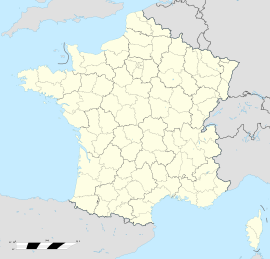
 MerrisLocation within Nord-Pas-de-Calais region
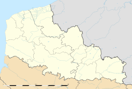 Merris
Administration Country France Region Nord-Pas-de-Calais Department Nord Arrondissement Dunkerque Canton Bailleul-Sud-Ouest Intercommunality Monts de Flandres - Plaine de la Lys Mayor Jocelyne Duez
(2008–2014)Statistics Elevation 18–61 m (59–200 ft)
(avg. 23 m/75 ft)Land area1 10.09 km2 (3.90 sq mi) Population2 957 (1999) - Density 95 /km2 (250 /sq mi) INSEE/Postal code 59399/ 59270 1 French Land Register data, which excludes lakes, ponds, glaciers > 1 km² (0.386 sq mi or 247 acres) and river estuaries. 2 Population without double counting: residents of multiple communes (e.g., students and military personnel) only counted once. Coordinates: 50°42′59″N 2°39′40″E / 50.7164°N 2.6611°E
Merris is a commune in the Nord department in northern France.
It is about 15 km (9.3 mi) west-northwest of Armentières, and about 20 km (12 mi) north of Béthune.
Heraldry

The arms of Merris are blazoned :
Argent, 3 horns sable tied gules. (Hardifort, Merris and Oudezeele use the same arms)See also
References
Categories:- Communes of Nord
- Nord geography stubs


Wikimedia Foundation. 2010.