- Curgies
-
Curgies
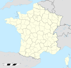
 CurgiesLocation within Nord-Pas-de-Calais region
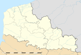 Curgies
Administration Country France Region Nord-Pas-de-Calais Department Nord Arrondissement Valenciennes Canton Valenciennes-Est Intercommunality Valenciennes Métropole Mayor Jean Richard
(2001–2008)Statistics Elevation 78–118 m (256–387 ft)
(avg. 93 m/305 ft)Land area1 6.08 km2 (2.35 sq mi) Population2 1,192 (1999) - Density 196 /km2 (510 /sq mi) INSEE/Postal code 59166/ 59990 1 French Land Register data, which excludes lakes, ponds, glaciers > 1 km² (0.386 sq mi or 247 acres) and river estuaries. 2 Population without double counting: residents of multiple communes (e.g., students and military personnel) only counted once. Coordinates: 50°19′44″N 3°36′11″E / 50.329°N 3.603°E
Curgies is a commune in the Nord department in northern France.
Heraldry

The arms of Curgies are blazoned :
Argent, a sow passant sable on a base vert. (Curgies and Émerchicourt use the same arms)See also
References
Categories:- Communes of Nord
- Nord geography stubs


Wikimedia Foundation. 2010.